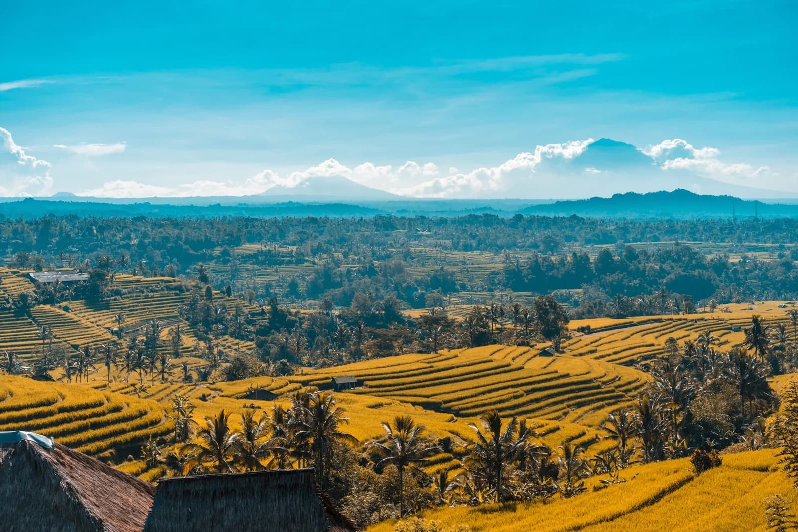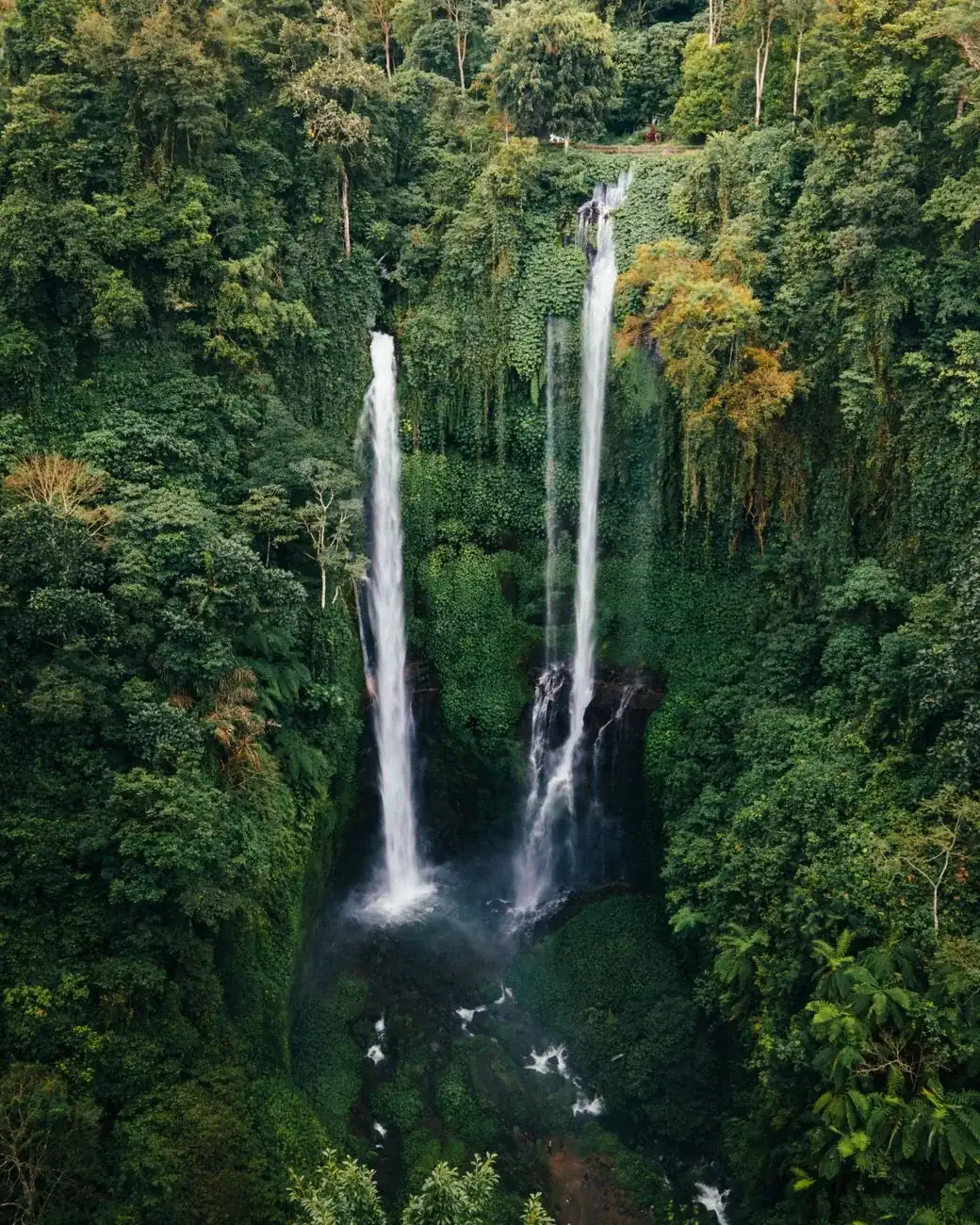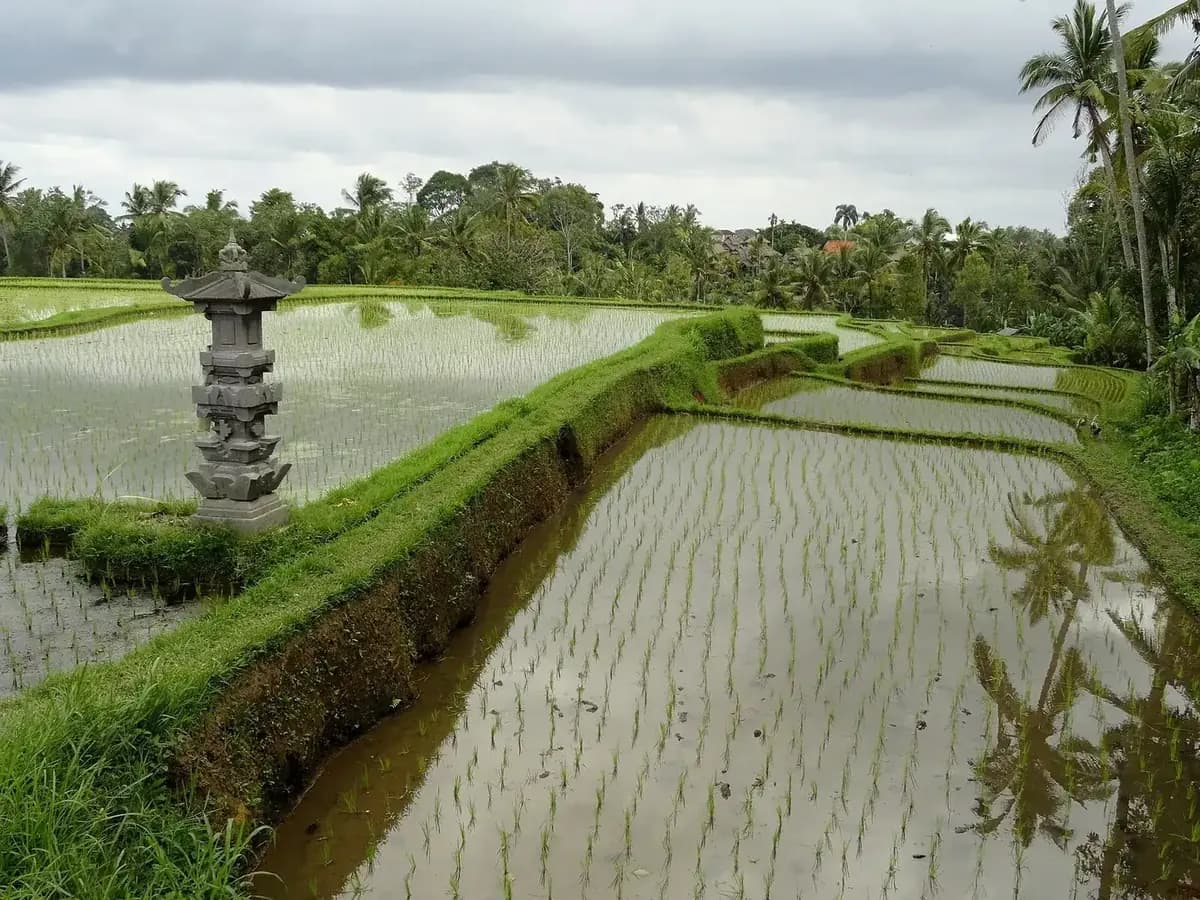
Bali is a volcanic ridge with beaches attached to the ends of it. The ridge gives you the soil the rice terraces sit in, the short steep rivers that make the waterfalls, the direction the temples face, and the reason the south is flat and hot while an hour inland you want a jacket at dawn.
Most visitors meet exactly one of these mountains, at two in the morning, on the Mount Batur sunrise trek. It is a good trip in the right month and a waste of a night in the wrong one, and it is not the only option on the island.
This page sorts out which mountain does what, so you spend your one early start on the right one.
On this page
The five, side by side
Height is the least useful column here and the one every other page leads with. What separates these mountains is what they ask of you and how much trouble it is to arrange.
| Mountain | Height | Climbable |
|---|---|---|
| Batur | 1,717 m | Yes, guided, at night |
| Agung | 3,031 m | Yes, seriously, and rarely |
| Batukaru | 2,276 m | Yes, and almost nobody does |
| Abang | 2,152 m | Yes, unguided, and quiet |
| Ijen | 2,799 m | Yes, as an overnight trip from Bali |
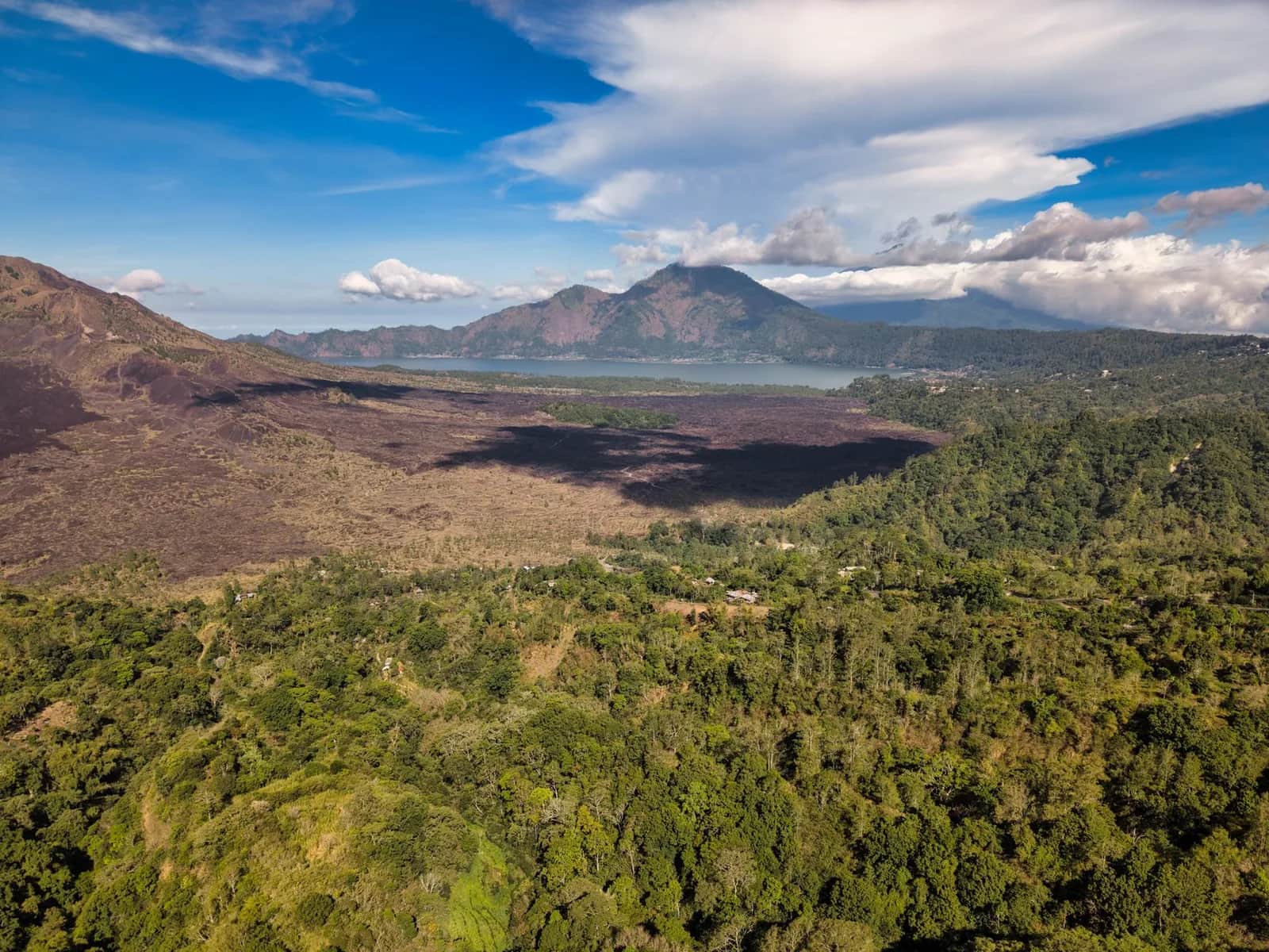
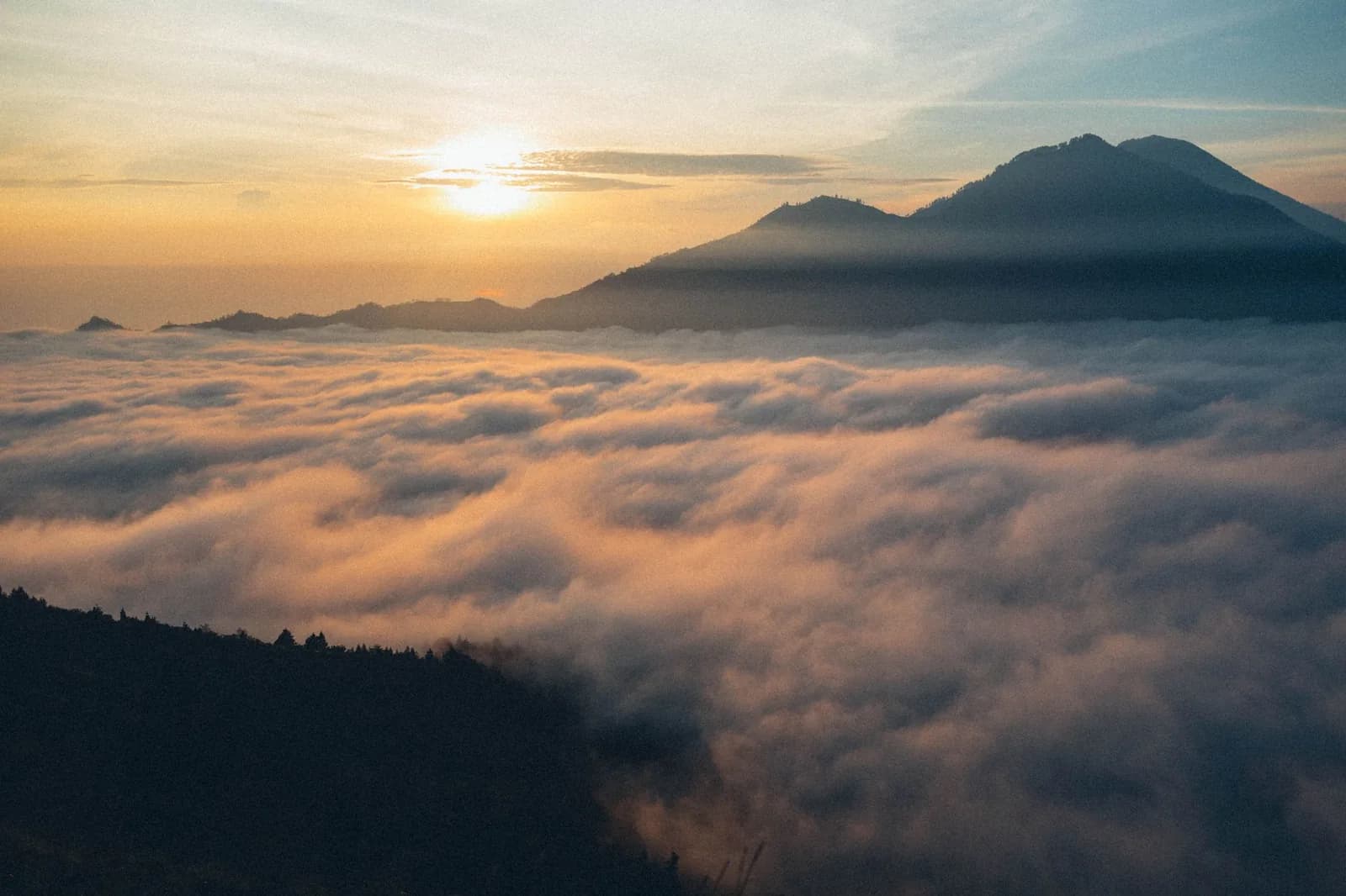
Batur, in Kintamani, east-central Bali, asks for a 02:00 start and two hours of ascent. It gives back a sea of cloud in the dry season, and the caldera at dawn.
Agung, in Karangasem, east Bali, asks for six to seven hours up, a midnight start and real hill fitness. It gives back the highest point on the island, and the mountain everything else is oriented towards.
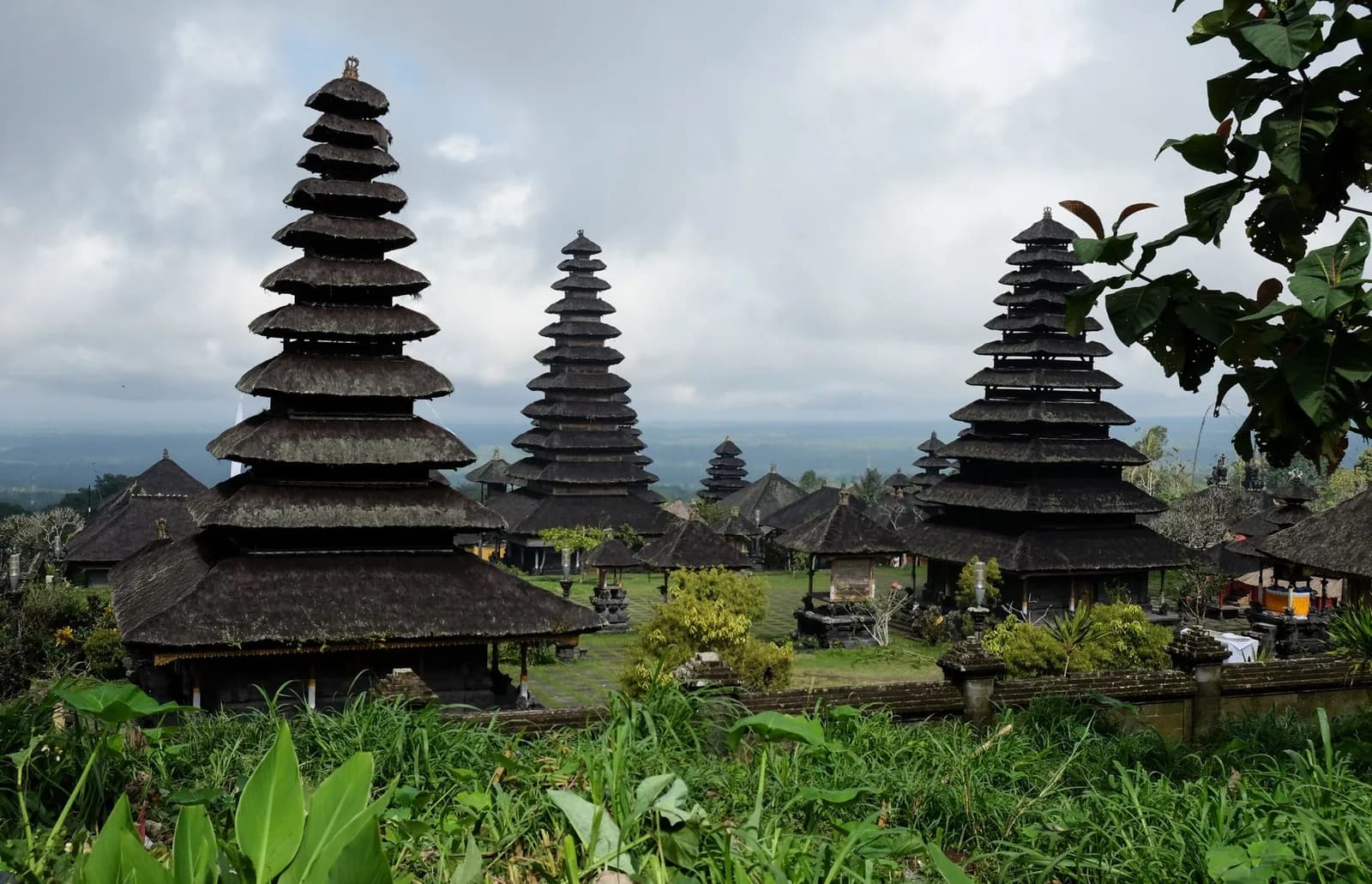
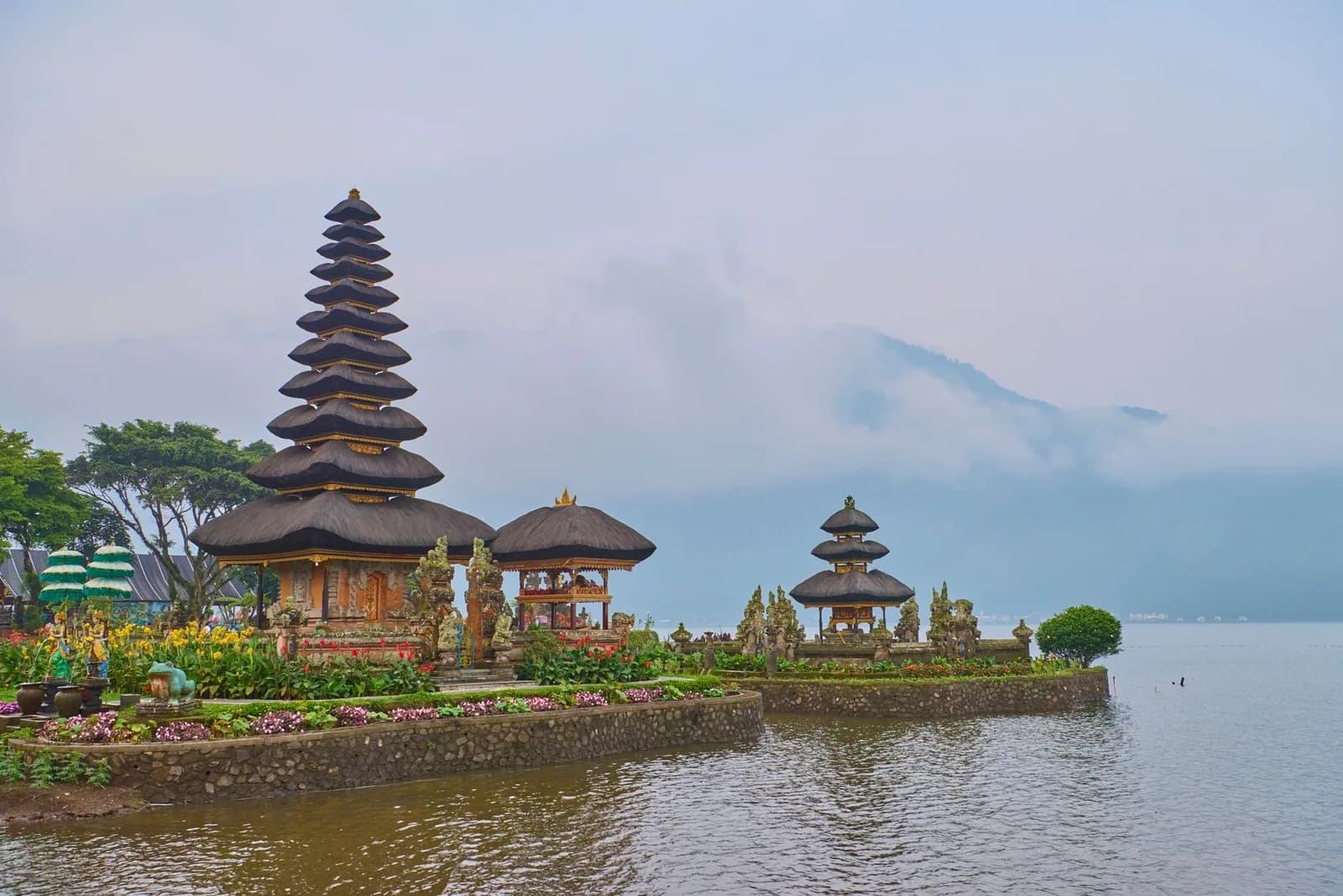
Batukaru, in Tabanan, west-central Bali, asks for five to six hours through dense forest, a local guide and mud. It gives back silence, jungle, and one of the most atmospheric temples on the island at its foot.
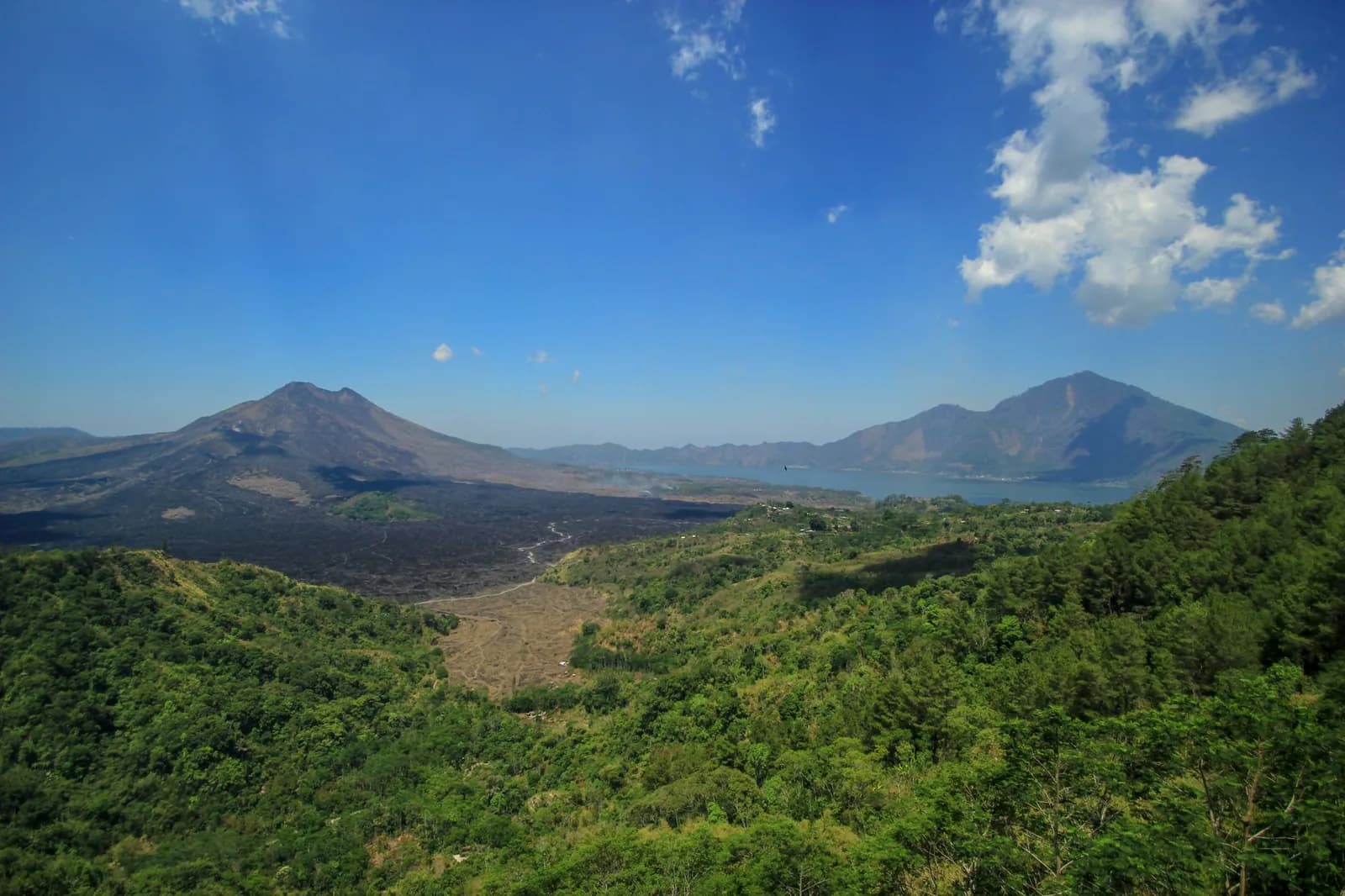
Abang, on the eastern wall of the Batur caldera, asks for three hours on a forest path with almost no one on it. It gives back the view down onto Lake Batur that the crowds on Batur do not get.
Ijen, in East Java across the strait, asks for a ferry, a night drive and a 01:00 start on another island. It gives back the blue flames and the sulphur crater, which nothing in Bali resembles.
The guides
Each with the honest version: what the night costs you, what the month decides, and what it actually runs to.
Which one is yours
You have one early morning to spend
Batur, between June and September. That is the whole answer. The package is easy to book, the guide is included, and in those months you stand above a floor of cloud rather than inside it. Outside that window, spend the morning somewhere else.
You want the view and not the climb
Drive to the Kintamani rim at first light. The photograph everybody recognises is the one taken from the rim road looking across the caldera, not the one from the summit, and it costs you a 04:30 departure and nothing else. A jeep will take you onto the lava field itself if you want to be in the landscape.
You are a hillwalker and the trek sounds tame
Agung. Six to seven hours of ascent starting around midnight, over two thousand metres of climbing from the usual trailheads, and a mountain that closes when it feels like it. Arrange it locally and take it seriously. Batukaru is the other answer if you would rather have forest and solitude than altitude.
You are travelling with children or bad knees
The rim road, the jeep, or the hot springs on the lake. All three give you the caldera without a metre of ascent, and the hot springs at eight in the morning are one of the better hours available on this island.
You want the thing nobody else in your hotel has done
Abang, on the eastern wall of the Batur caldera. Three hours through forest on a marked path, almost nobody on it, and it looks down on the lake from higher than the summit everyone queues for. Or Batukaru, where the temple at the foot is worth the drive even if you never start walking.
You have two spare days and want something genuinely other
Ijen, in East Java. A ferry from Gilimanuk, a night drive, a 01:00 start, and a sulphur crater with blue flames burning in the dark and a turquoise acid lake in it at first light. It has nothing in common with a Bali sunrise trek and it is not a day trip however it is sold to you.
The listings, with the guide already included
Free cancellationSunrise treks and jeep tours on Mount Batur
- ✓Compare the walking version against the jeep version before you commit to a 02:00 alarm
- ✓The association guide is included in the price on the packages worth booking, which is the part you cannot skip
- ✓Free cancellation on most listings, so you can book early and pull out on a cloudy night
- ✓Pickups from Ubud and from the south, at the hours each of them actually requires
Affiliate link. Booking through GetYourGuide costs you nothing extra and supports the guide. Prices are indicative and vary by option and season.
Why the island is shaped like this
Bali sits on the Sunda arc, where one tectonic plate slides beneath another and pushes a line of volcanoes up along the whole length of Indonesia. The ridge runs east to west across the top of the island, which is why the map makes so much more sense once you have seen it: everything drains south off that ridge in short steep rivers, and those rivers are the waterfalls you will spend a morning on.
The volcanic soil on the southern slopes has supported a dense rice-growing population for a thousand years, and the water rights across it are managed by the subak, a system of irrigation cooperatives with temples at the head of each channel. That is why the terraces around Ubud exist where they do, and why a lake temple is a serious institution rather than a photogenic building.
It also explains the temperature. The coast is hot all year and the caldera at 1,500 metres is not. People who pack for Seminyak and go up to Kintamani for the morning are cold, every single day of the year.
Active, monitored, and occasionally closed
Agung and Batur are both active volcanoes under continuous observation. Agung is the one with recent history: it erupted through 2017 and into 2019, closed the airport more than once, and moved tens of thousands of people out of the villages on its flanks. Batur last did anything significant in 2000.
Neither is a reason to change your plans in the abstract. Both are a reason to check the current alert level a few days before you climb, rather than to assume the trek you booked in March is still running in July.
The other thing that changes is the rules. Access to Bali's peaks has been restricted at various points, both for volcanic activity and after incidents involving visitors behaving badly on mountains that the island considers sacred. Proposals to limit climbing have surfaced more than once in recent years.
In practice the Batur trek has continued to run throughout. The sensible position is to book something with free cancellation and to treat any operator who tells you the rules never change as someone who has not been paying attention.