Nusa Penida is the largest of the three islands sitting in the Badung Strait between Bali and Lombok, and it is the reason half the photographs in your Bali research look like nowhere else in Bali. It is a raised block of limestone roughly 200 square kilometres in size, rising to a little over 500 metres, with cliffs falling straight into the sea along most of its southern and western edges. It receives close to a million day trippers a year on the strength of a handful of viewpoints, and it has almost none of the infrastructure that number implies.
That gap is the whole story of visiting it. The island is drier, poorer, emptier and considerably harder to move around than the Bali most people arrive from, and the difference between a memorable day and a wasted one is almost entirely a matter of logistics decided before you board the boat: which coast, how you get around it, and whether you have given yourself the hours it actually takes.
This page is the transversal part of Nusa Penida: the crossing, the roads, the circuits, the cliff safety, the water and the seasons. The individual sights each have their own guide, linked through the text and listed further down, because the detail of a manta trip or a west coast car park does not belong in the same breath as how to get off a beach and onto a boat.
Boat, driver and the whole day sorted
Nusa Penida day trips and snorkelling tours
- ✓Return fast boat from Sanur, which is the part that is genuinely annoying to book alone
- ✓A driver waiting at the harbour, so the day starts instead of stalling at the pier
- ✓Manta snorkelling trips with vest and guide, separate from the clifftop circuits
- ✓Free cancellation on most listings, which matters when the sea decides in the morning
Affiliate link. Booking through GetYourGuide costs you nothing extra and supports the guide. Price and rating checked September 2026. Both move with season and demand.
On this page
Where Nusa Penida is, and why it feels like another country
The island lies about 20 kilometres off Bali's south east coast, across the Badung Strait, and it is administratively part of Bali: a district of Klungkung Regency, not a separate province or a different island group. People sometimes talk about “going to Nusa Penida from Bali” as though it were another country. Legally and culturally it is not. It has the same temple calendar, the same offerings on the same doorsteps, and the same regency government.
What is different is everything the geology decides. The strait it sits in is deep and fast, and the cold water that funnels through it is the reason the reefs here are healthier than most of Bali's and the reason the manta rays turn up. The island itself is a lifted limestone plateau with almost no surface water, which is why the interior is scrub and dry farmland rather than the terraced green you drove through around Ubud, and why villages here collected rainwater in cisterns long before anyone piped it in.
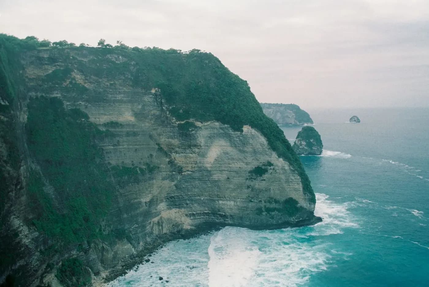
It also spent centuries as somewhere Balinese people did not particularly want to go. Nusa Penida was a place of exile under the Klungkung kingdom and it carries a reputation in Balinese belief as the seat of Ratu Gede Mecaling, a figure associated with plague and misfortune. Pura Dalem Ped, near the harbour, is a major pilgrimage temple for exactly that reason, and a good share of the Balinese visitors who share your boat are going to pray rather than to photograph a cliff. If you have already worked through Bali's temple circuit, it is worth ten minutes on the way past.
The practical consequence of all this is that Nusa Penida developed for tourism in about a decade, from a standing start, with roads designed for pick up trucks serving seaweed farms. The scenery arrived fully formed. The rest of it is still catching up, and that is what the rest of this page is about.
Is Nusa Penida worth it?
It is the most searched question about the island by a distance, in both the American and the Australian markets, and the honest answer depends entirely on what you are expecting.
Go if
- You want cliff scenery that genuinely has no equivalent on Bali itself.
- You want to snorkel with manta rays, which is the one thing here that is both world class and reasonably reliable.
- You can give it a full day, and ideally a night, rather than squeezing it between two other plans.
- You are content to look at extraordinary beaches from above rather than lying on them.
- You would rather see one thing properly than photograph six in a rush.
Skip it if
- You have one day left in Bali and were hoping for a relaxed one. This is not that.
- You get carsick or seasick. The transfers are long, steep and rough, and the crossing can be worse.
- You want to swim at the famous beaches. At the two most photographed ones, you cannot.
- You are travelling with small children and the plan is a full day trip loop from Bali.
- You are chasing a specific photograph. The queue for it is real, and the light is usually wrong by the time tours arrive.
The version of this island that circulates online was shot from a drone at seven in the morning. What you get on the ground is a hot, dusty drive between lookouts, punctuated by views that do live up to the photographs. Both things are true at once, and knowing that in advance is most of the difference between a good day and a disappointing one. The people who come back disappointed are almost always the ones who expected a beach destination and got a hiking and driving day with spectacular scenery attached.
The crossing: fast boats, swell and how not to be sick
There is no airport and no bridge. Every visitor arrives on a boat, and the crossing shapes the day more than anyone expects it to.
| From | Arrives at | Crossing | Departures | What to know |
|---|---|---|---|---|
| Sanur (Bali) | Toya Pakeh or Banjar Nyuh | 30 to 45 min | Roughly every 30 to 60 min from 07:00, thinning out after 15:00 | The default route and the one every tour uses. Boarding is off the sand, not a pier. |
| Sanur (Bali) | Buyuk | 35 to 50 min | A handful of daily departures | A quieter arrival a few minutes south of Toya Pakeh. Same crossing, fewer touts. |
| Padangbai (east Bali) | Nusa Penida | 45 min to 1 h | Limited, plus the slow public ferry | Only sensible if you are already in east Bali. The car ferry takes a couple of hours. |
| Nusa Lembongan | Toya Pakeh | 10 to 20 min | Several daily, morning and mid afternoon | The island hop. Short, cheap, and rough out of proportion to its length. |
| Kusamba (Klungkung) | Nusa Penida | 40 min to 1 h | Local boats, no schedule you can rely on | How the island is actually supplied. Not a tourist route and not worth chasing. |
Sanur to Toya Pakeh is the crossing that matters, and 30 to 45 minutes is the honest range. Operators advertise the low end and deliver it on a flat morning. On a lumpy afternoon with a full boat, the skipper backs off the throttle and it takes longer. Tickets are sold online, through hotels, and at the beach counters in Sanur, and buying ahead matters far more for the return leg than the outbound one: the last boats back fill up, and being bumped to the following departure is how people end up paying for an unplanned night.
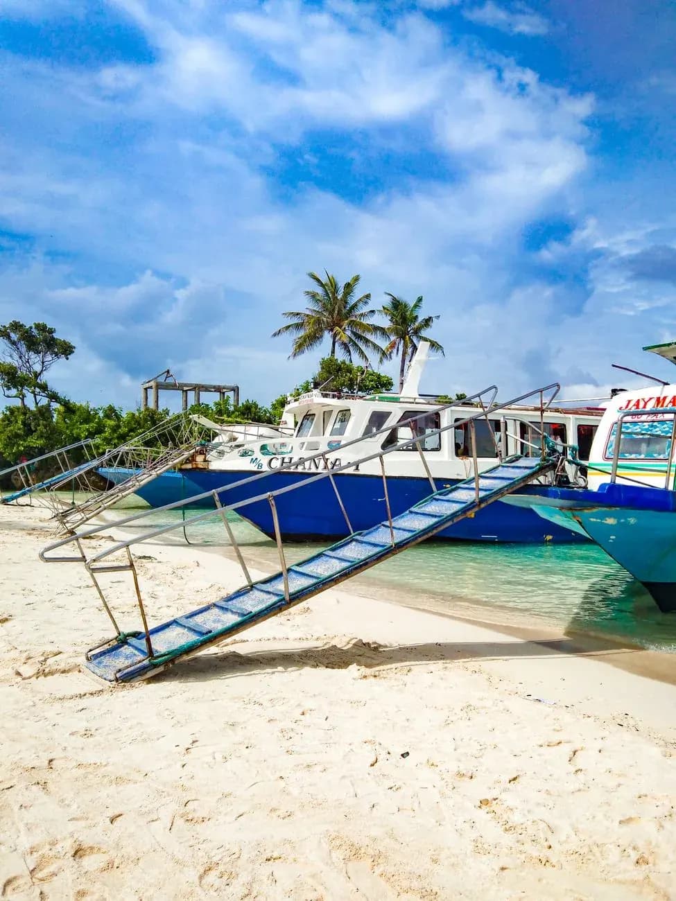
Boarding is the part nobody photographs. There is no terminal at either end. You wade ankle to knee deep off the sand and climb a ramp onto the bow, luggage handed up over your head. Wear something you can get wet, carry your own bag if it contains anything electronic, and abandon any plan involving a wheeled suitcase. Sanur has a proper concrete pier now for some operators, which helps, but the Nusa Penida end is still a beach on most services.
The Badung Strait is deep, tidal and open. That combination makes for a short, sharp chop rather than a long ocean swell, and a forty minute crossing on a hard hulled speedboat in that kind of water is genuinely unpleasant if you are prone to seasickness. The mitigations are unglamorous and they work: take something for it forty minutes before boarding rather than as you cast off, sit as far back and as low as you can, stay outside in the air if the boat has an open stern, and keep your eyes on the horizon rather than your phone. Mornings are calmer than afternoons almost every day of the year.
One more thing about the return. Boats are cancelled for weather more often than the schedules suggest, particularly between November and March, and a cancellation is announced on the morning rather than the night before. Do not put a same day international flight on the other side of that crossing. Leave a night in Sanur or Kuta between the last boat and the airport, every single time.
Day trip or a night on the island?
The single biggest mistake on Nusa Penida is treating it as a list of places rather than a budget of hours. Put your list into the planner below and it will tell you whether it fits between your boat over and your boat back.
Choose the sights you would be annoyed to miss rather than the ones you have seen photographed, then check the table below for the honest time each one takes, and the rule after it for whether your list fits between two boats.
| Spot | Zone | Time on site |
|---|---|---|
| Kelingking viewpoint | West | 50 min. The T-Rex cliff from the top, plus the queue for the photo spot. |
| Kelingking descent to the sand | West | 2 h 45. Steep, exposed and physically hard, not a built staircase. Plenty of people turn back. |
| Crystal Bay | West | 1 h 10. The one west coast beach you can actually sit on, and the standard sunset stop. |
| Broken Beach and Angel's Billabong | Far west | 1 h 10. Two sights sharing one car park at the far north west corner. |
| Peguyangan blue stairs | South | 1 h 45. Hundreds of steps down a cliff face and the same number back up. |
| Diamond Beach and Atuh | East | 1 h 30. The east coast pair, the longest drive on the island from the harbour. |
| Thousand Islands viewpoint | East | 35 min. A clifftop lookout a few minutes from Diamond Beach. |
| Goa Giri Putri cave temple | Near the harbour | 50 min. You enter through a hole barely wider than your shoulders. Sarong required. |
| Manta Point snorkelling trip | At sea | 3 h 10. A boat morning, not a road stop. It eats the first half of the day whole. |
The rule
A list of stops needs the time spent at each one, plus the driving between whichever zones they sit in, plus a fixed 45 minutes for the harbour queue, fuel and lunch. The driving is what catches people out. It is not the sum of each stop's distance. It is twice the drive to the furthest zone you visit, plus 25 minutes for every extra zone beyond the first, plus another 60 minutes on top if the list crosses from the west side of the island to the east. That crossing is what turns a comfortable list into one that needs a night on the island: west and east are separated by an hour of road each way.
Compare the total against your window. Well under it, and this is what a good day on Nusa Penida looks like: three or four things, done properly. Within about an hour of it, the list fits on paper and only on paper: every transfer has to run clean, nobody can linger, and one flat tyre or one slow queue at a viewpoint car park puts you at risk of the last boat. Doable, but it will feel like a logistics exercise rather than a day out. Over the window, you are looking at either an anxious sprint or a missed boat: cut the list, or give the island a night and do all of it without watching the clock.
| Arrival | What it is | Time on the island |
|---|---|---|
| First fast boat from Sanur | Booked yourself, at the harbour before the crowd, driver waiting on arrival | 08:00 to 17:00, 9 h |
| Mid morning boat | The realistic version if you sleep in Seminyak or Canggu and transfer to Sanur | 10:20 to 17:00, 6 h 40 |
| Organised day tour with hotel pickup | Fixed itinerary, fixed group, and a return boat you cannot move | 08:30 to 15:30, 7 h |
| One night on the island | Afternoon boat over, full day, morning boat back | Two half days plus a full one |
Two combinations, worked out
Kelingking viewpoint, Broken Beach and Angel's Billabong, Crystal Bay, on the first boat. 50 minutes plus 1 h 10 plus 1 h 10 of stops is 3 h 10. West and far west are the same side of the island, so driving is twice the 1 h drive to far west, plus 25 minutes for the second zone, which is 2 h 25. Add the 45 minute buffer and the day needs 6 h 20 against 9 hours available. This fits, with room to breathe: about 2 h 40 of slack for a slow lunch, a wrong turn and the twenty minutes everyone loses at the harbour on the way back.
Kelingking viewpoint, Broken Beach and Angel's Billabong, Diamond Beach and Atuh, on an organised day tour. Now the list crosses to the east coast. Stops alone are 50 minutes plus 1 h 10 plus 1 h 30, or 3 h 30. Driving is twice the 1 h 20 to the east, the furthest zone, plus 25 minutes each for the second and third zones, plus the 60 minute crossing surcharge for mixing west and east, which comes to 4 h 30. With the 45 minute buffer the day needs 8 h 45 against the 7 hours an organised tour gives you. It does not fit, and cutting Diamond Beach and Atuh alone closes the gap, which is the giveaway that the east coast stop, not a west coast one, is what has to go. The other way to keep all four is to stop chasing a single boat cycle and give the island a night instead.
Both examples assume a car with a driver who knows the island. On a rented scooter, on roads that are narrow and broken in places, add roughly a quarter to every transfer and treat a list that only just fits as a no.
Most people day trip, and a well built day trip is a perfectly good experience. The version that works is one circuit, three or four stops, and the first boat out of Sanur. If you are buying one rather than assembling it, the Nusa Penida day trip guide compares the three formulas on price, on what the ticket actually covers and on the fees that land at the gate. The version that fails is the one assembled from a saved folder of photographs taken at opposite ends of the island, and it fails in a specific way: you spend six hours in a car, arrive everywhere at the same time as everyone else, and see four car parks.
Staying the night changes the island rather than merely extending it. The day tours are gone from the viewpoints by four in the afternoon and do not return until ten the next morning, which leaves two windows of several hours each when Kelingking, Broken Beach and the eastern lookouts are close to empty. Sunset and dawn on this coast are the whole reason to sleep here, and they are the two things a day trip structurally cannot buy.
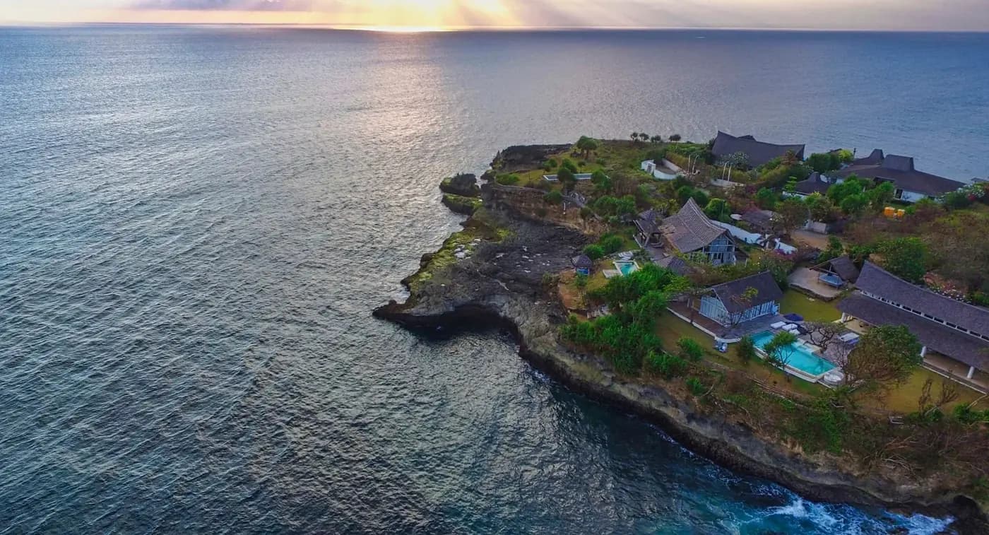
Against that: accommodation is thinner and rougher than its prices imply, power cuts are routine, and the good clifftop places are a long way from anywhere to eat. One night is the sweet spot for most people. Two nights suits divers and anyone planning to combine the island with Nusa Lembongan and Nusa Ceningan, which are a twenty minute boat away and a completely different, flatter, gentler proposition.
West circuit, east circuit, or the boat
Nusa Penida sells itself in three formulas, and every operator on the island uses the same three. Understanding what each one physically contains is the most useful hour of planning you can do.
| Circuit | Time behind the wheel | The window it needs | Suits |
|---|---|---|---|
| West | 3 h to 3 h 30 driving in total | Harbour by 08:00, back at the pier by 16:30 | A first visit, one day, the list everyone has already seen |
| East | 4 h to 5 h driving, on the worst surfaces | Harbour by 07:30, back by 16:30 and not later | A second day, or a first day for anyone staying the night |
| Snorkelling morning | No driving, a boat from the harbour and back | Out around 08:00, back on land by 11:30 | Anyone who would rather be in the water than photographing it |
West circuit: the postcard one, and the busiest
- Kelingking viewpoint
- Broken Beach and Angel's Billabong
- Crystal Bay for the late afternoon and the sunset
- Paluang cliff, five minutes from Kelingking and half as busy
It will not stretch to the descent to the sand at Kelingking, which alone costs most of an afternoon, to anything on the east coast, an hour of rough road away, or to Peguyangan, a separate direction with its own serious set of steps. Kelingking is at its worst between 10:00 and 13:00, when the organised tours converge. Arriving before 09:00 or after 15:00 changes the place completely, and the west coast stays sheltered from the main swell for much of the year, which is why the boats and the snorkelling live on this side.
This is the default circuit, and it deserves to be. Four genuinely spectacular stops, the shortest transfers on the island, and a sunset at the only west coast beach where sitting down is the point.
East circuit: longer drives, thinner crowds
- Diamond Beach and Atuh, side by side under the same cliff line
- Thousand Islands viewpoint, a few minutes away on the same headland
- Goa Giri Putri, the cave temple you enter through a gap in the rock
- Rumah Pohon, the tree house perched on the ridge above Atuh
It leaves out Kelingking and everything west of the harbour, Broken Beach at the opposite corner of the island, and a relaxed pace, because the driving is the bulk of this day. The east stays consistently quieter than the west, since most day tours never come this far, though you will still queue at the tree house. The coast here is exposed to the open ocean, and the shore break at Diamond Beach is heavy, so swimming there is not a normal beach swim.
Worth it if you have the time, and a bad idea if you are squeezing it in. The scenery holds up against the west coast. The roads do not, and that is the entire trade.
Snorkelling morning by boat: the one thing here that is world class and reliable
- Manta Point or Manta Bay, depending on swell and where the rays are that week
- Two or three reef stops, usually Gamat Bay and Crystal Bay
- Vest, mask and a guide in the water, which is the whole reason this is safe
It skips any clifftop viewpoint, unless you bolt a short land circuit onto the afternoon, and it does not promise calm water: the manta site is exposed and the boat rolls on plenty of mornings. Mantas themselves are not guaranteed, though the odds through the middle of the year are good. Boats cluster at the manta site between 08:00 and 10:00, so the first departure is both the calmest sea and the smallest crowd, and operators cancel or reroute to Manta Bay when the swell is up, a call made on the morning itself.
This is the highest return on a half day anywhere on the island, for anyone prone to feeling cheated by viewpoints. Pair it with a short west coast afternoon and you have the best single day Nusa Penida offers.
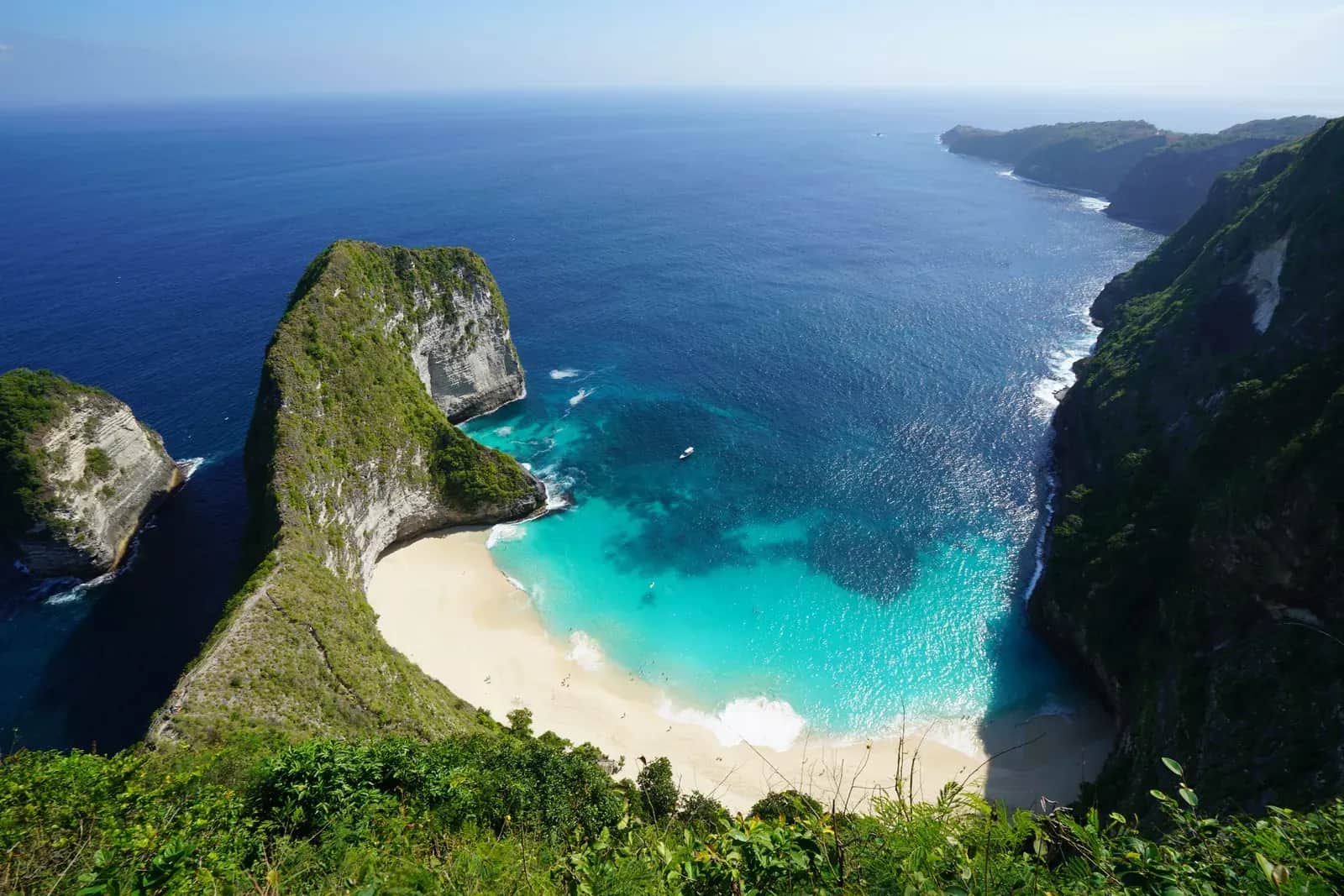
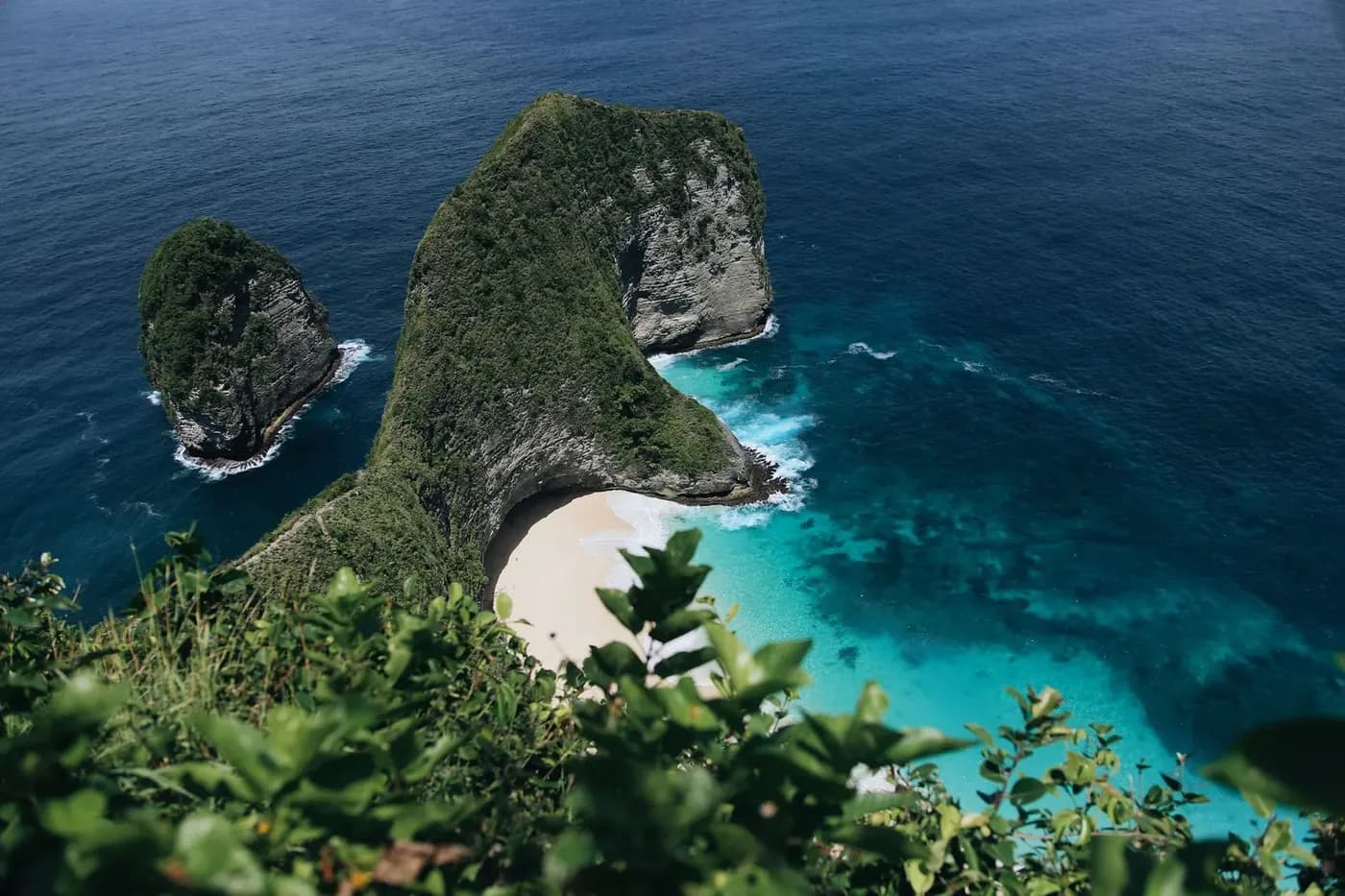
The west is the famous one. Kelingking, the cliff shaped like a sleeping dinosaur, is forty five minutes from the harbour, and the viewpoint at the top is one of the genuinely great views in Indonesia. The descent to the sand below it is a steep, exposed scramble down a ridge, not a built staircase, and a large share of the people who start it turn around partway. Down at the bottom the water is not a swimming beach: the current runs hard and the shore break is heavy, which is why swimming there is prohibited. Go for the view from the top and treat the descent as a separate, demanding decision with a two hour price tag.
Fifteen minutes further round the coast, Broken Beach and Angel's Billabong share a single car park and take about an hour between them. Broken Beach is a collapsed sea cave: a circular cove open to the ocean through a natural rock arch, walked around the rim from above rather than descended into. Angel's Billabong, a few minutes away on foot, is a rock pool at the edge of the platform whose behaviour depends completely on the tide and the swell.
The east coast is where the crowd thins out and the driving doubles. Diamond Beach and Atuh sit under the same run of cliffs on the far side of the island, roughly ninety minutes from the harbour on the island's worst surfaces, with the Thousand Islands viewpoint on the headland between them. It is the better half of the island for anyone who has a second day, and the wrong half for anyone who has one.
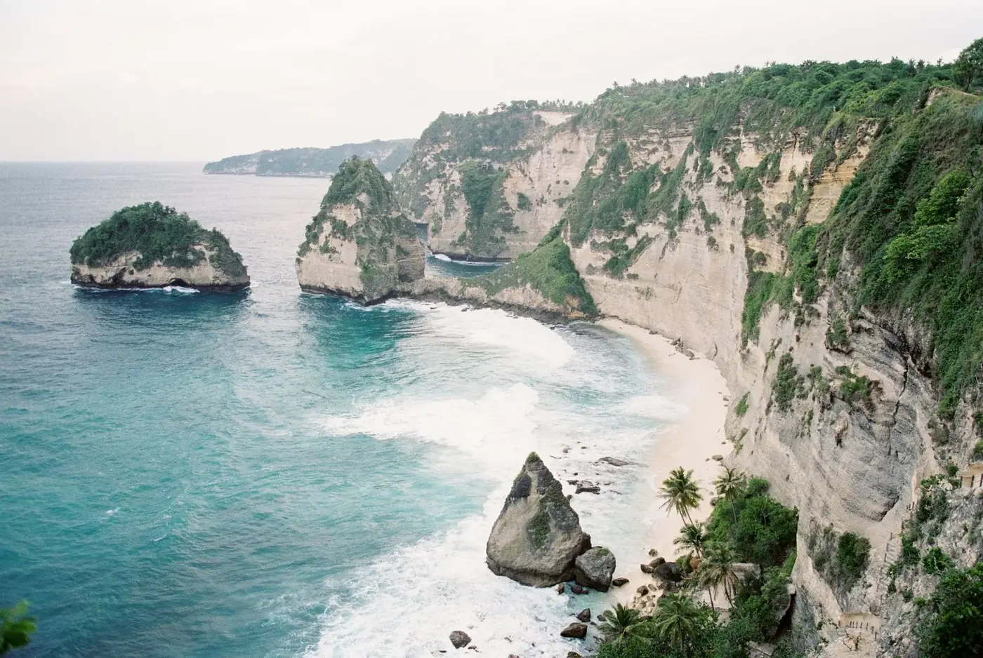
And then there is the water, which is the argument for coming here that has nothing to do with photographs. Reef mantas gather at cleaning stations off the exposed south west corner, and snorkelling with them at Manta Point is the single highest return activity on the island. It is also the one the sea can cancel on the morning, and the one where the boat ride is rougher than anybody warns you.
The roads, and the scooter versus driver argument
This is the section that decides how your day goes, and it is the one most guides reduce to a sentence about renting a bike being fun.
The main road that loops the north and west of the island is properly surfaced and pleasant to drive. Everything branching off it is a different matter. The access roads to the viewpoints are narrow, steep in sustained sections, and repaired in patches, with concrete slabs giving way to broken tarmac and loose gravel without warning. Add blind bends, a lack of barriers on the drops, trucks that own the middle of the road by convention, and dogs, and you have a set of conditions that punishes hesitation.
This matters because of who is riding on them. A large share of the visitors who hire scooters on Nusa Penida have little or no riding experience, and injuries among them are common enough that the island's small clinics see them daily. The typical accident is not dramatic: a downhill hairpin taken too fast, a foot down on gravel, a slide with bare legs and no gloves. The typical consequence is a week of dressings, a ruined holiday, and a bill that travel insurance declines to pay because the rider had no motorcycle entitlement on their licence.
The insurance point deserves its own line, because it is where the real money is. Riding without the motorcycle category on an international driving permit voids most travel policies, and a medical evacuation from Nusa Penida to a hospital in Denpasar runs into figures that make the scooter saving look absurd. Helmets are supplied and are frequently cosmetic, so if you are going to ride, look at the one you are handed before you accept it.
A car with a driver for the day is the default answer for almost everyone. It costs a little more than two scooter rentals once fuel and parking are counted, it removes the navigation problem entirely, and the driver knows which car parks fill first and which climbs are being resurfaced this month. Agree the circuit before you leave the harbour, confirm that entrance and parking contributions are yours to pay, and accept that lunch will happen at a warung with a view and a commission arrangement, which is a fair trade.
Ride hailing apps barely function here. There is no meaningful Grab or Gojek coverage outside the harbour area, so the plan of arriving without a booking and summoning a car at each viewpoint does not work. Arrange transport before you get on the boat, or accept the drivers waiting at the pier and negotiate on the spot, which is normal and works fine, though prices at the pier are set by demand and the last arrivals of the morning pay the most.
Is Nusa Penida dangerous?
“Nusa Penida dangerous” is the single most common related search on the island in both the American and Australian markets. The reality is less dramatic than the phrasing and more mundane than most guides admit.
The roads
This is the actual risk, and it is the one covered at length above. Scooter accidents involving visitors are the most common way a trip here goes wrong, and hiring a driver for the day removes almost all of it in one decision.
The water
Currents around the island are strong and the shore break at the exposed beaches is heavy. Serious accidents have happened, which is why the bans exist. On a guided boat trip with a vest, in the sheltered west coast bays, this is an entirely different situation.
The cliff edges
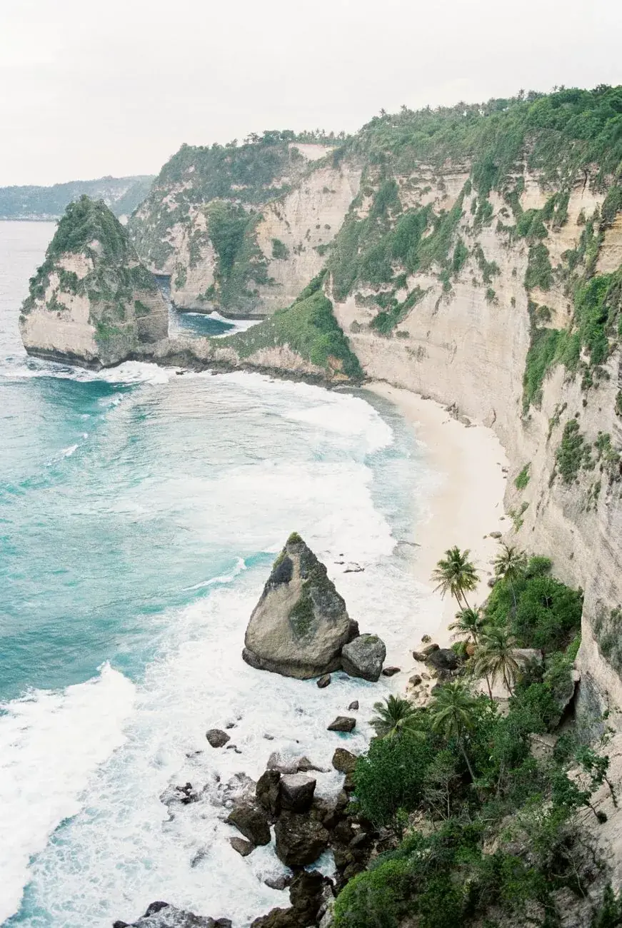
Most viewpoints have no railing, the rock is friable limestone, and the edge is not always where it looks. Wind funnels hard over the lips on the exposed side. Stay back, and treat the photo perches people queue for as exactly what they are.
Take the cliffs seriously, because this is where the difference between Nusa Penida and a European clifftop path is most extreme. There are no fences, no warning signs at most viewpoints, and no supervision of any kind. The limestone at the edge is undercut by the sea and weathered from above, so blocks detach. The ground that looks like solid rock two metres from the drop is sometimes a crust over nothing. People sit on overhangs for photographs at almost every named lookout on this island, and the fact that a queue has formed for a particular perch is not evidence that it is safe.
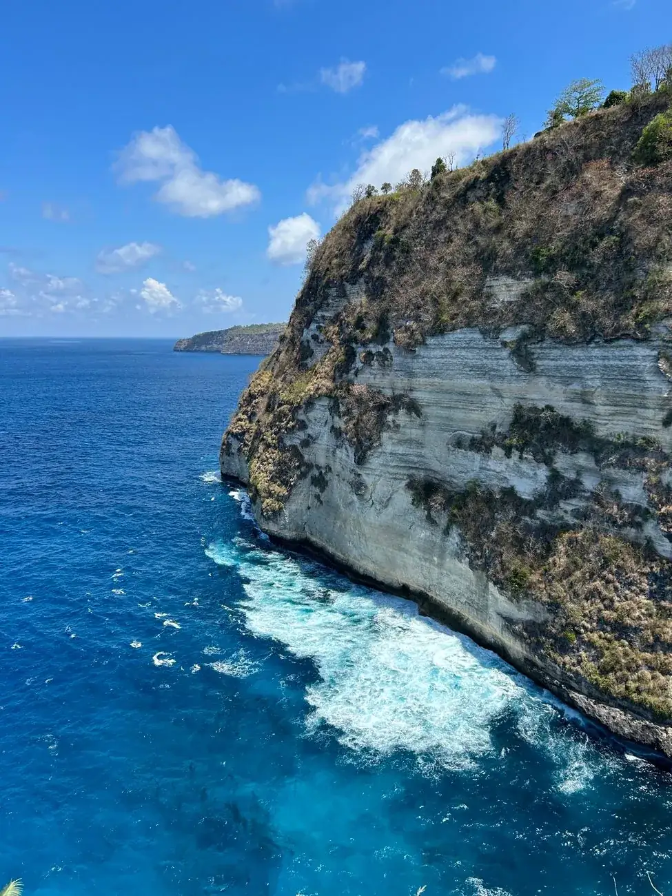
The wind is the underrated part. On the south and west facing cliffs it comes up the rock face and over the lip in gusts strong enough to move a person who is off balance, and it is at its worst in the middle of the day when most tours arrive. Hats, phones and sunglasses go over regularly. So, on a much smaller number of occasions each year, do people.
Beyond that, the ordinary safety picture is good. Theft and violence against tourists are rare, solo travellers and solo women report the island as comfortable, and the villages are friendly to a degree that surprises people arriving from the south of Bali. Medical care is the genuine weak point: there are small clinics and no hospital, so anything serious means a boat or a helicopter back to Denpasar, which is an argument for insurance rather than for staying away.
What is currently closed
Two attractions that still appear in tour listings and travel articles are not operating. Both sit on the Kelingking cliff, and both are worth checking before you let them influence your plan.
The glass elevator
A roughly 180 metre glass lift down the Kelingking cliff face, halted by the governor of Bali in late 2025 over permit and environmental violations, with an order to dismantle it and restore the cliff.
The developer has been contesting that order in the administrative court ever since. As of August 2026 the case is unresolved and the unfinished structure is still on the cliff. It has never carried a passenger, and there is no date for one. Getting down to the sand is still a steep scramble on foot, and back up is harder than down.
The bungee jump
Closed on 31 October 2025 for operating without the required permits and over safety concerns. It appeared to resume in late January 2026, and Klungkung authorities closed it again on 29 January 2026.
No permit has since been reported as granted. If you find it being sold, that is worth knowing before you book it, and worth asking about before you pay.
Both situations have moved several times and could move again. This reflects what is on the public record in August 2026.
Cash, water and power: the things that run out
Nusa Penida looks close enough to Bali that people assume it works the same way. In four specific respects it does not, and each of them ruins somebody's day every week.
Cash and ATMs
There are a handful of ATMs, almost all of them clustered around the north coast between the harbour and Sampalan, and on a busy day several will be empty or offline. Bring the cash you need from Bali, in small notes. Parking contributions, entrance donations, warungs and drivers are all cash, and nobody at a clifftop car park takes a card. The one charge that does not work this way is the Bali tourism levy, which covers Penida as part of the province and is paid online long before you reach the harbour.
Fresh water
The island has essentially no rivers and very little groundwater near the surface. Water is trucked, pumped from deep wells or collected from rain, and hotels run out. Carry more drinking water than the day looks like it needs, especially if you are walking down to any beach, because the climb back up in the middle of the day is the hardest thing most visitors do here.
Electricity and signal
Power cuts are routine rather than exceptional, and they take the water pumps and the wifi with them. Mobile coverage is decent along the north coast and patchy to absent in the interior and on the eastern cliffs. Download your maps offline before you board the boat, and bring a power bank.
Fuel, food and pharmacies
Proper petrol stations exist only in the north. Elsewhere fuel is sold by the bottle from roadside stalls, which works but is not something to rely on at four in the afternoon. Warungs close early outside the harbour area, and the pharmacy you want for a scraped shin is in Sampalan, not near the viewpoints.
One further piece of etiquette worth carrying over from the mainland: this is a devout island, and its temples matter more here than the tourist numbers suggest. A sarong and sash are required at Pura Dalem Ped and at Goa Giri Putri, the cave temple on the north east coast that you enter through a gap in the rock barely wider than your shoulders. Both are working places of worship rather than sights, and the same rules apply that you will have met around Bali's major temples.
When to go, and what the sea does through the year
On Bali the question is rain. Here it is the sea, because the sea decides whether your boat runs, whether the manta trip happens, and how much of the crossing you enjoy.
| When | The sea | Crowds | Verdict |
|---|---|---|---|
| April to June | Settling down, visibility improving | Moderate until the school holidays start | The best window overall. Dry, the swell has dropped off, and the manta season is opening up. |
| July and August | Calm mornings, choppy afternoons, cold upwellings | Peak, and it shows at every car park | Best conditions and worst queues. Mola mola turn up on the deep sites, and so does everyone else. |
| September and October | Still good, crossings mostly comfortable | Falling away through October | The quiet twin of the April window, and the one experienced repeat visitors pick. |
| November to March | Wet season swell, more cancelled boats | Lowest of the year outside the Christmas fortnight | Green, empty and unreliable. Rain tends to come in bursts rather than all day, but the sea makes the decisions. |
The pattern behind that table is simple. The dry season from roughly April to October gives calmer mornings, better underwater visibility and far fewer cancelled crossings, which is why it is also when the island is busiest. The wet season from November to March brings a bigger swell into the strait, more boats cancelled on the morning, and rain that usually arrives in heavy bursts rather than settling in for the day.
Manta season and mola mola season are the two dates that move divers. Reef mantas are present year round and encounters are most reliable through the middle of the year. The oceanic sunfish come up from the cold water between roughly July and October, which is also when the water on the deep sites is genuinely cold and the boat traffic at the cleaning stations is heaviest.
Whatever the month, the time of day matters more than the season for everything except the boats. The viewpoints are empty at eight and heaving at eleven, the wind builds through the afternoon, and the sea is at its most comfortable before nine. Every good version of a Nusa Penida day starts absurdly early, and every bad one starts at ten.
Fitting Nusa Penida into a Bali trip
Where the island sits in an itinerary matters almost as much as what you do on it. The natural base is Sanur, because every fast boat leaves from there and the difference between a ten minute transfer and an hour from Canggu is the difference between the first boat and the third. A night in Sanur before and a night after is the version experienced travellers use, and it makes an overnight on the island easy rather than complicated.
It combines badly with Ubud on the same day and well as a bookend to it. Ubud is ninety minutes from Sanur in good traffic and a good deal more in bad, so a day trip to Nusa Penida from Ubud means leaving before five in the morning and returning after dark. If your trip is centred on the interior, treat Nusa Penida as a separate two night block at the start or the end rather than a day out from the middle.
The obvious pairing is with the other two Nusa islands. Nusa Lembongan and Nusa Ceningan are a short hop from Toya Pakeh, flatter, gentler and far more walkable, with a yellow suspension bridge between them and a beach culture Nusa Penida does not have. Two nights split between Penida and Lembongan is a far better week than three nights on Penida alone, particularly if you are not diving.
And if the cliff scenery is what you came for but the logistics are putting you off, the honest alternative is the Bukit peninsula in the far south of Bali, which has the same limestone and the same drops with none of the boat. It is not the same island and the water is not as good, but it is a legitimate substitute for someone with three days left. For a gentler counterweight in the same trip, the waterfalls of the interior sit at the opposite end of Bali's scenery, and they ask a lot less of you.
The spots, one by one
Detailed guides to the places worth the drive, with real timings and the caveats the tour listings leave out.
Nusa Penida
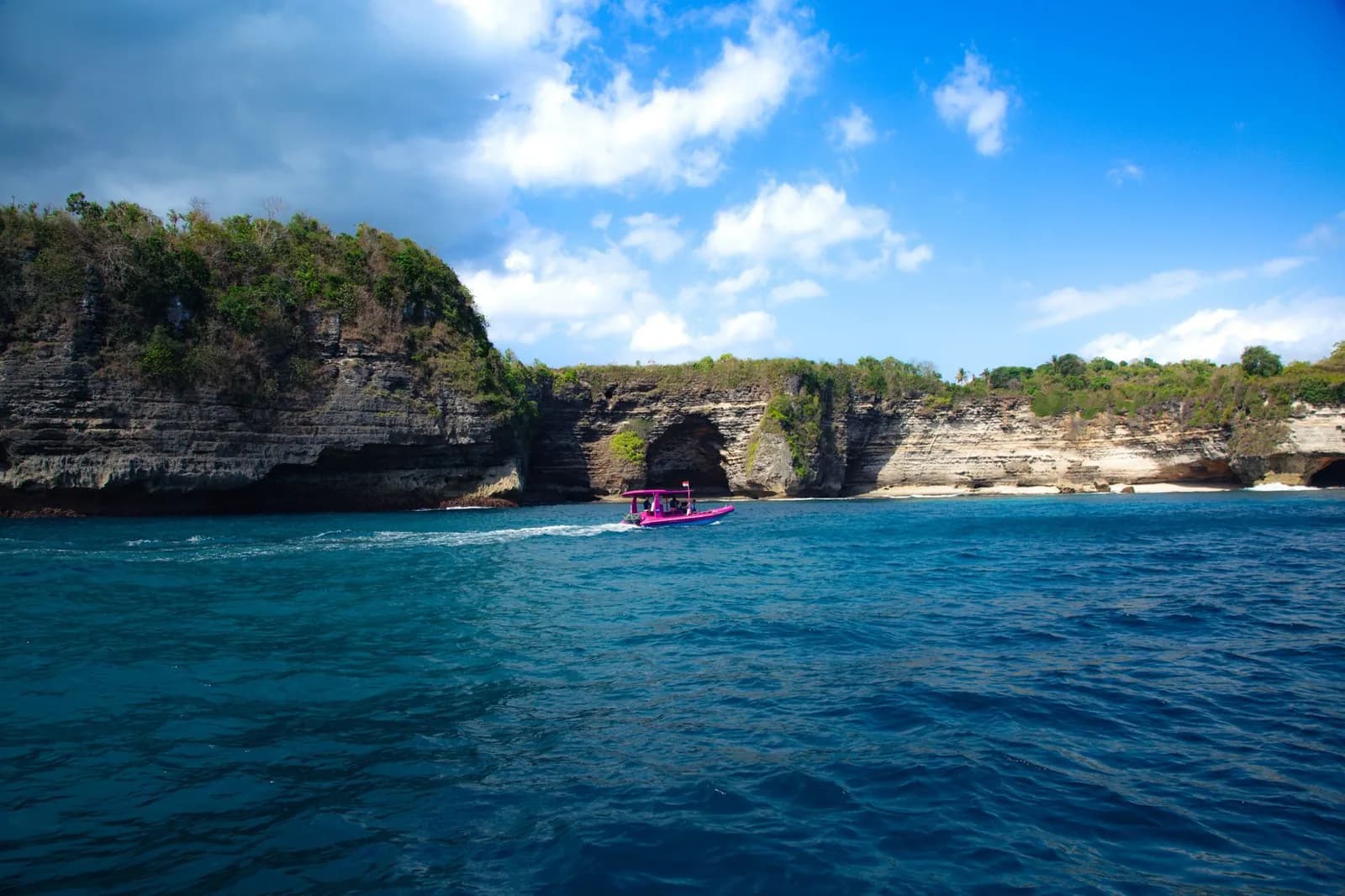
Nusa Penida Day Trip: What a Tour Costs and Includes
The three tour formulas compared, what a ticket actually covers, where the extra fees land on the day, and the pickup and return times operators do not publish.
Read the guide →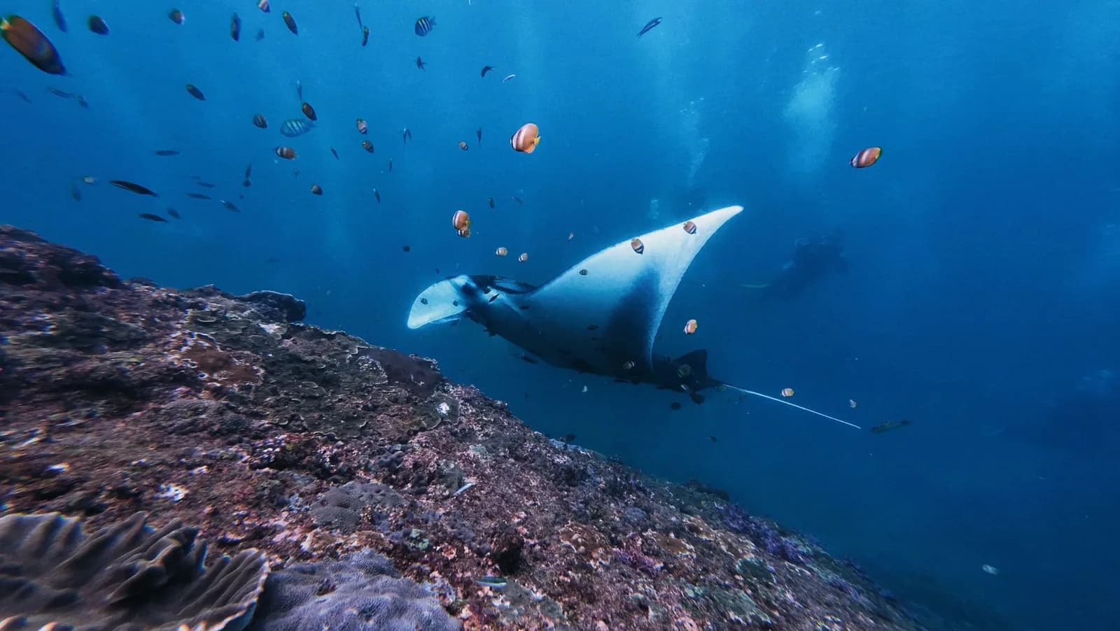
Nusa Penida
Manta Point Nusa Penida: Snorkelling With Manta Rays
Snorkelling with manta rays at Manta Point, Nusa Penida: Manta Point or Manta Bay, snorkel or dive, the swell nobody warns you about, and when the boat is cancelled.
Read the guide →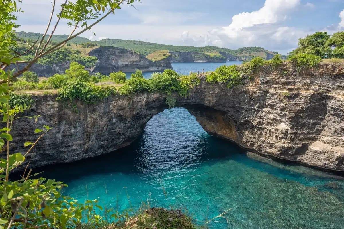
Nusa Penida
Broken Beach, Nusa Penida: The Arch, the Tide and the Loop
Broken Beach, or Pasih Uug: a collapsed sea cave with a natural arch. What the clifftop loop is like, why you cannot swim, and how the tide rules next door.
Read the guide →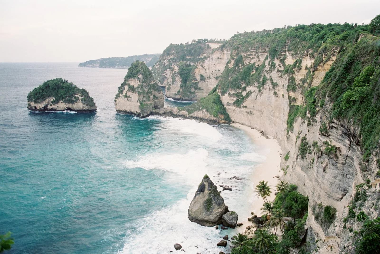
Nusa Penida
Diamond Beach or Atuh: Which One Deserves the Stairs
Diamond Beach on Nusa Penida sits four hundred metres from Atuh Beach and they are not the same day out. What the cliff staircase is really like, and which beach to descend.
Read the guide →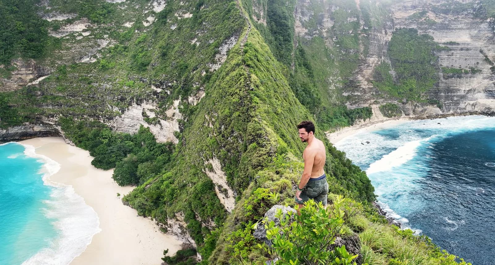
Nusa Penida
Kelingking Beach: The Descent, and Who Should Turn Back
Kelingking Beach on Nusa Penida. What the descent to the sand is actually like, section by section, who should attempt it, and why the climb back is the hard half.
Read the guide →Nusa Penida: common questions
What people search before booking the boat, answered without the marketing.