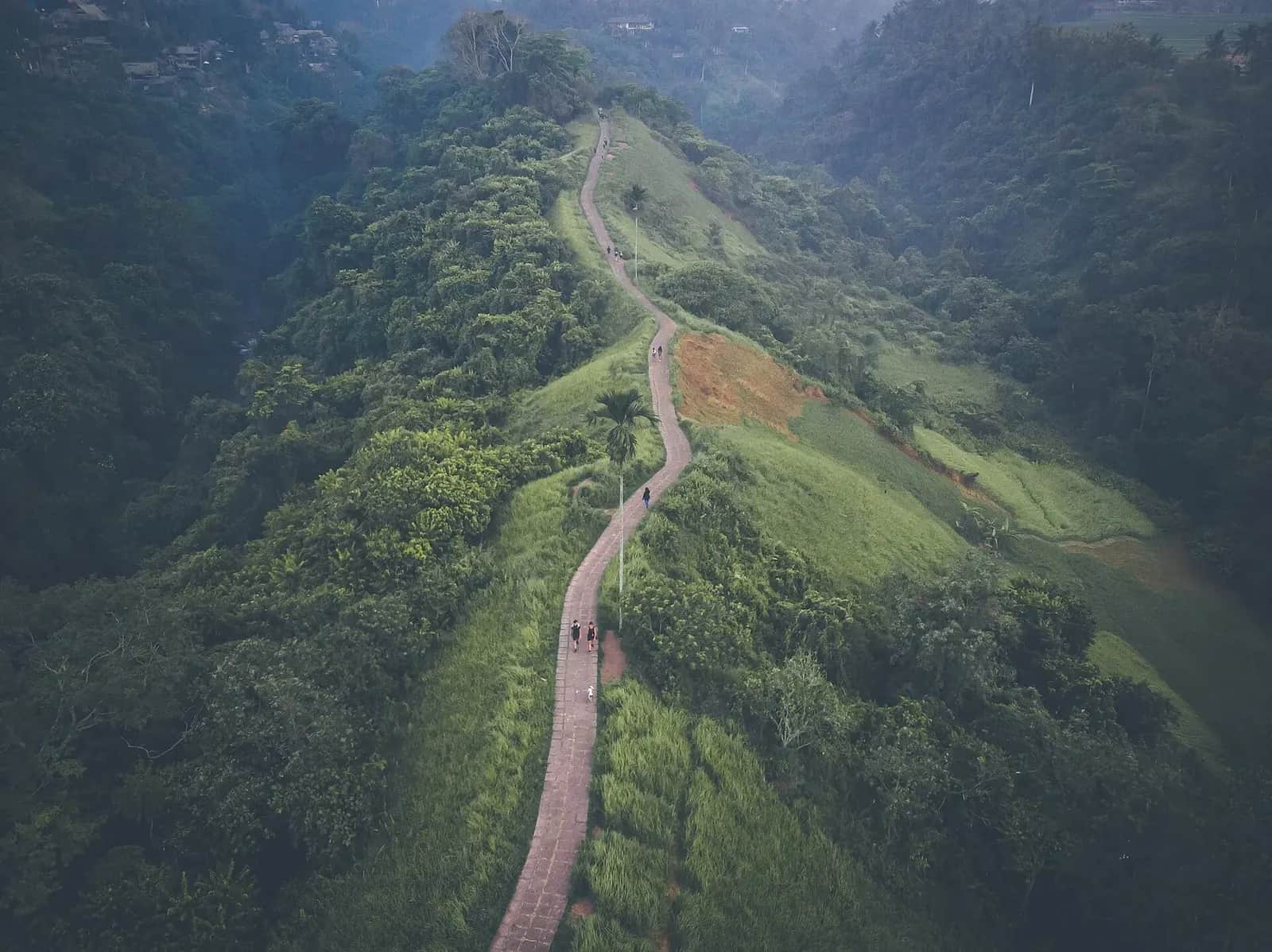
West of central Ubud the ground splits into two river gorges, and a narrow spine of land runs out between them. Someone laid a strip of stone paving along the top of it, and that is the Campuhan Ridge Walk: roughly two kilometres of open crest with a wooded valley falling away on each side, tall grass on the verges, and the roofs of Ubud disappearing behind you within five minutes.
It costs nothing. There is no gate, no ticket office and no donation post, which around Ubud is close to a miracle. It is also easy: paved the whole way, a gradual climb, and walkable in whatever you have on your feet.
Almost everything that goes wrong with it comes down to two things. People cannot find the entrance, and they arrive at ten in the morning on a path that has no shade whatsoever. Both are solvable before you leave your room.
The ridge is free. This is the other walk.
Free cancellationGuided village and rice field walks, Ubud
- ✓Do not book anything for the ridge itself: it is a free public footpath with no ticket of any kind
- ✓What a guide adds is the part beyond it, the villages and paddies around Bangkiang Sidem and Keliki
- ✓Small group walks explain the subak irrigation system, which is the reason the landscape looks the way it does
- ✓Most start at dawn for the same reason this page does, and end with breakfast
- ✓Free cancellation on most listings if the forecast turns
Affiliate link. Booking through GetYourGuide costs you nothing extra and supports the guide. Prices are indicative and vary by option and season.
On this page
A ridge, not a rice field
This is the misconception that produces most of the disappointment, and it is worth clearing up before anything practical.
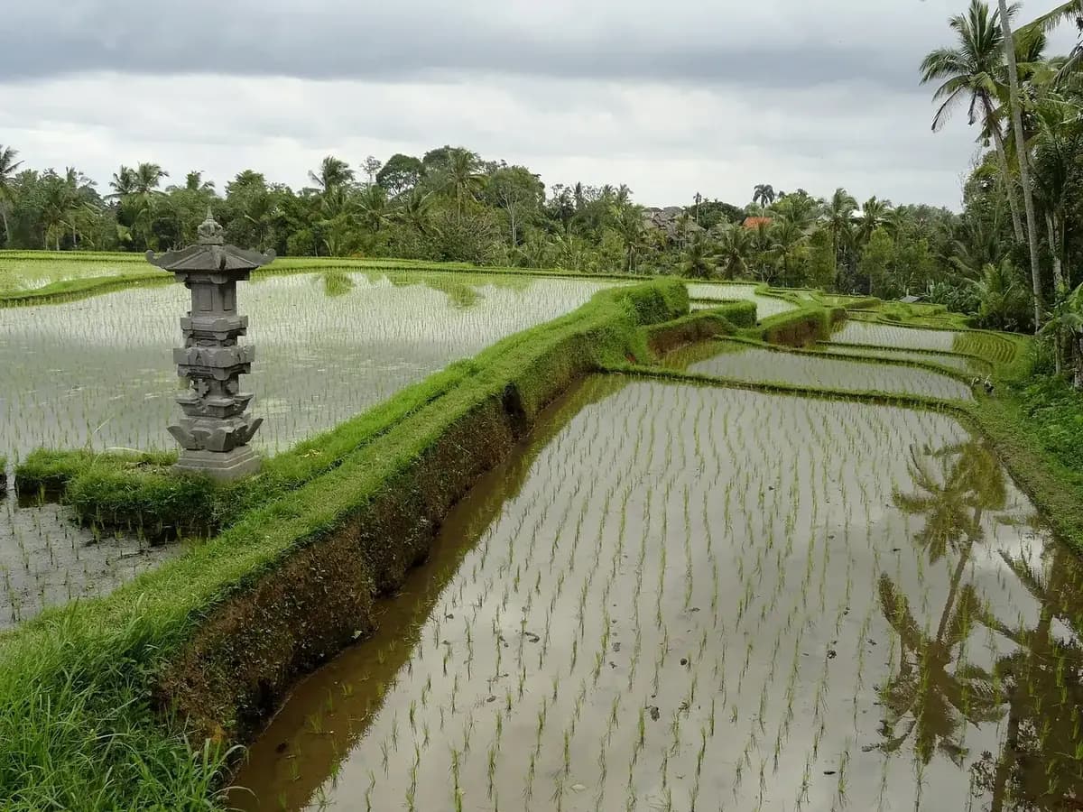
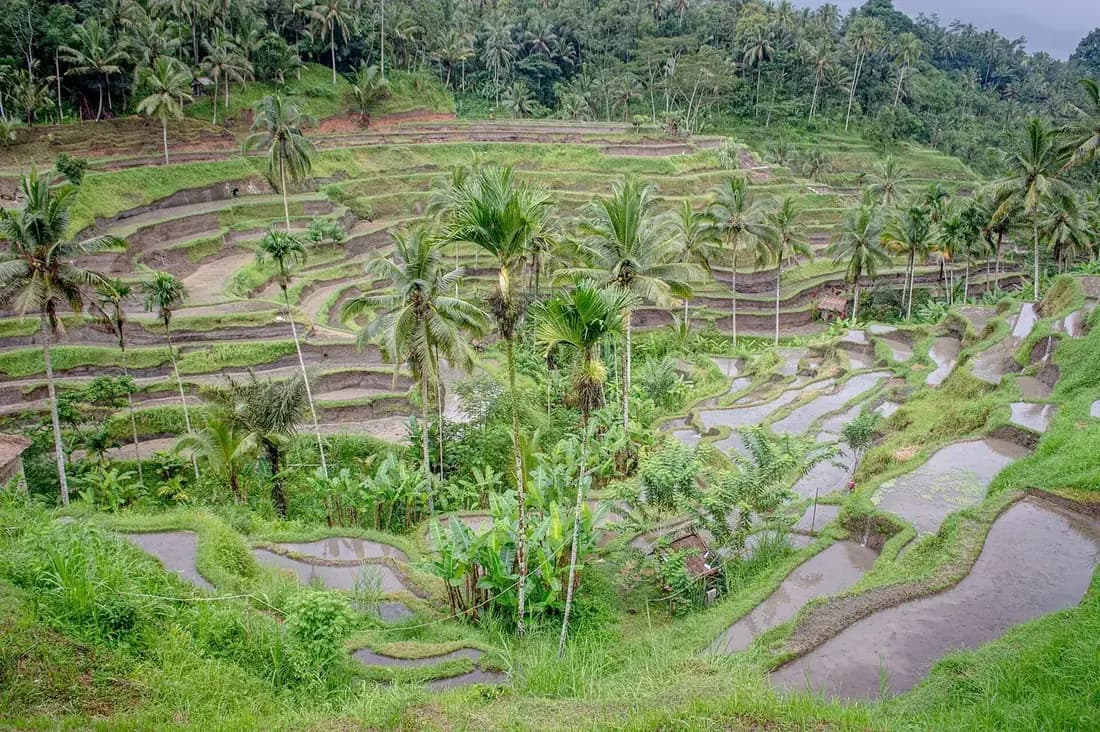
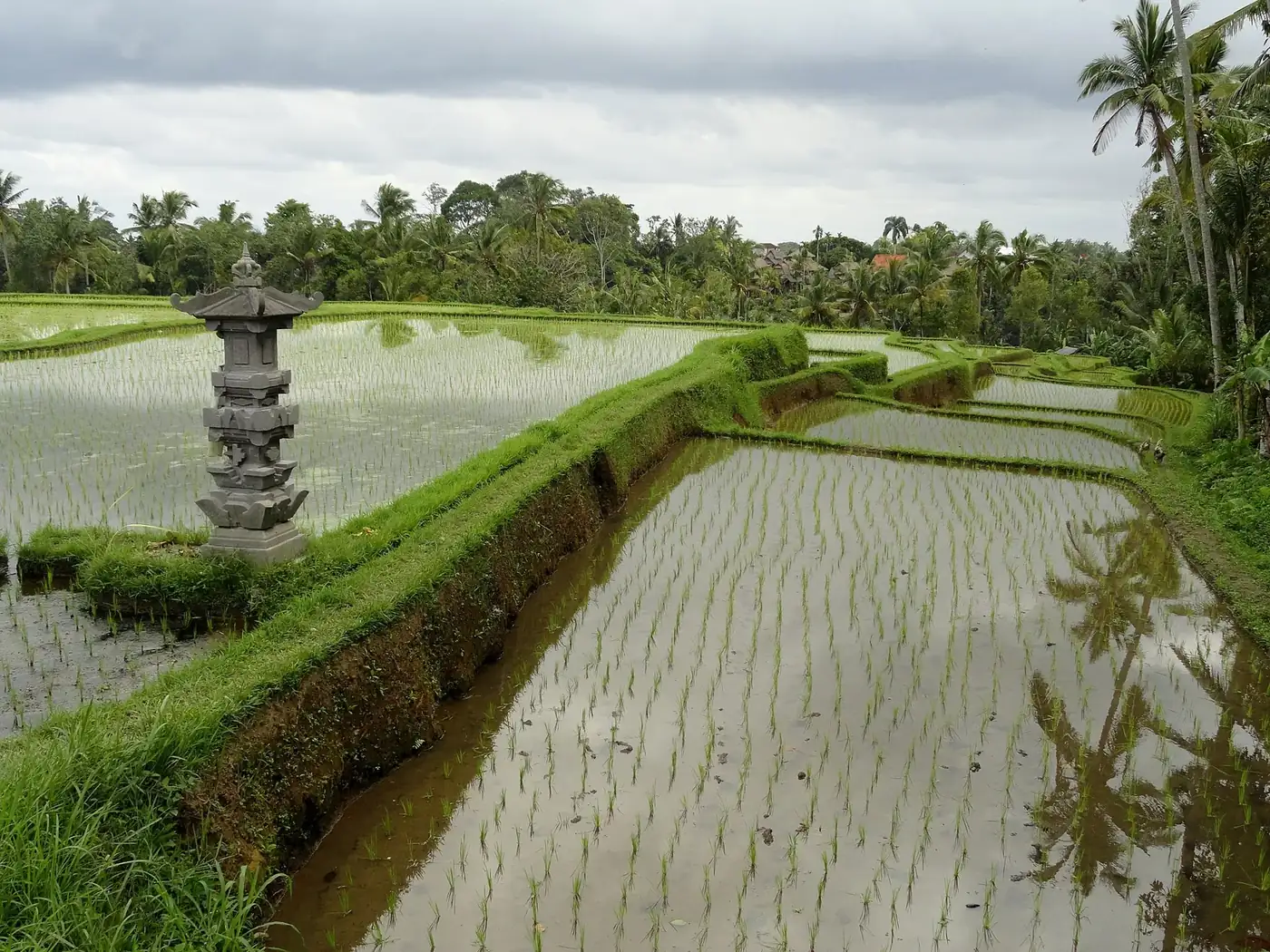
Search for Ubud and the images that come back are terraced paddies stepping down a hillside with water lying between the rows. People arrive at Campuhan expecting a version of that with a footpath through it, and what they find instead is a grass ridge: a narrow spine of open ground with a wooded gorge dropping away on the left and another on the right, and elephant grass shoulder high on the verges.
It is a genuinely good landscape, and it is not the one in the photographs people came with. The confusion is made worse by the number of articles that illustrate this walk with pictures of flooded terraces taken somewhere else entirely. There are no rice fields on the crest. Not one.
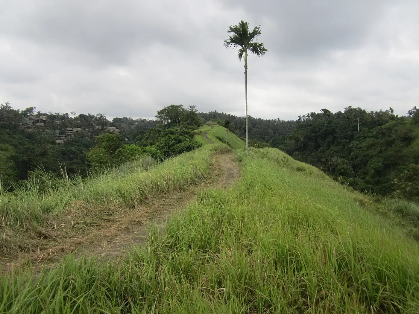
Photo Tigerente, CC BY-SA 4.0
What there is instead is space, and a lot of sky. From the middle of the ridge you can see the whole shape of the valley system that Ubud sits inside, which is something you cannot see from anywhere in town. On a clear morning the mist sits in the two gorges and the crest stands above it.
If terraced paddies are specifically what you want, the honest answer is to go to Tegallalang twenty minutes north instead, and treat Campuhan as the free morning walk that it is. Doing both, on different mornings, is the version that leaves nobody disappointed.
Finding the start, and everything after it
Where does the Campuhan Ridge Walk start is the most searched question about this walk by a wide margin, and there is a reason for that: the turn looks like a private driveway and nothing is signed.
| Marker | Distance from the palace | Time | What is there |
|---|---|---|---|
| Ubud Palace | 0.0 km | Start | The walk down begins here. |
| The Campuhan bridge | 1.2 km | 12 to 15 min | Old arched bridge over the confluence. |
| The lane down to the temple | 1.3 km | 15 min | Unsigned turn beside the Ibah hotel. |
| Pura Gunung Lebah | 1.4 km | 17 min | The temple, and the real trailhead. |
| Onto the ridge | 1.6 km | 20 min | Steps, then the crest opens on both sides. |
| The crest itself | 1.6 to 3.2 km | 20 to 50 min | The open, gently rising paved section. |
| Bangkiang Sidem | 3.4 km | 50 to 60 min | Where the ridge stops and the village starts. |
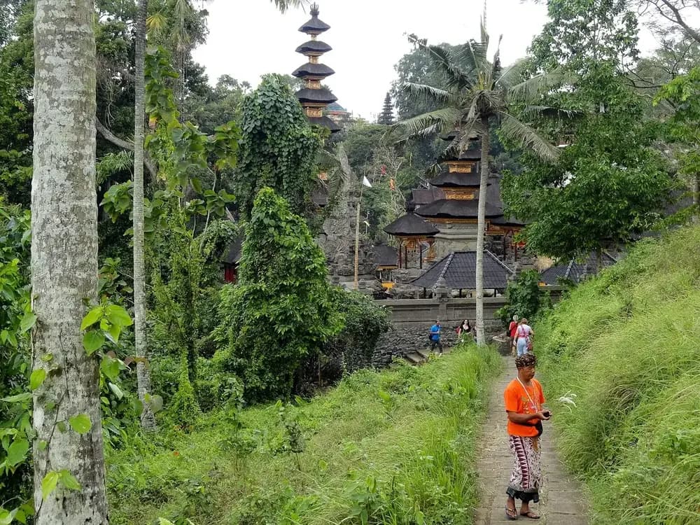
Photo Fabio Achilli, CC BY 2.0
Three things that make it findable
- Navigate to the temple, Pura Gunung Lebah, not to the walk. Map pins for the trail are scattered along its whole length and several of them are on the wrong side of the gorge.
- Use the Ibah hotel as your landmark. The lane down to the temple is the one that passes its entrance, just before the bridge coming from town.
- If you have crossed the bridge and started climbing again, you have gone too far by about a hundred metres. Turn round.
There is a second entrance at the far end, in Bangkiang Sidem, which is worth knowing if you are being dropped off. Starting from that end means walking the ridge downhill and finishing in the middle of Ubud, which on a hot day is the better direction.
Parking, which is the real friction
Every other practical detail about this walk is easy. This one is not, and most guides skip it entirely.
On foot: the answer for almost everyone
Twelve to fifteen minutes downhill from the palace along Jalan Raya Ubud. No vehicle, no parking question, and you get a shaded road rather than an open ridge for that stretch.
By scooter: workable, informally
Bikes are usually left near the bottom of the lane or by the temple, watched by whoever is there, for a token fee. It is unofficial rather than organised, and space runs out on a busy morning.
By car: no car park exists
The lane is narrow, it serves a hotel, and there is nowhere to leave a vehicle at the bottom of it. With a driver, be dropped at the temple and picked up at the far end.
The reason this matters more than it should is that Campuhan sits at the pinch point of Ubud traffic. Jalan Raya Ubud narrows towards the bridge, there is no verge, and a car stopped for thirty seconds backs up the whole street. Anyone who has watched the morning jam at that bridge will understand why nobody has built a car park there.
If you are staying anywhere in central Ubud, Penestanan or Sanggingan, walk. If you are coming from the south of the island for the day, park in town, do the ridge in the morning, and spend the rest of the day on something that has a car park, such as the palace and the market in the middle of town.
Distance, timing and how hard it actually is
Published figures for this walk range from one kilometre to nine, because everybody measures a different thing. Here is each leg separately, so you can add up the version you intend to do.
| Which leg | Distance | Time | What it involves |
|---|---|---|---|
| Ubud Palace to the trailhead | 1.2 km | 12 to 15 min | Downhill on the road, with pavement most of the way and shade for part of it. |
| Temple to the end of the ridge | 1.8 to 2 km | 30 to 40 min | The paved crest itself. Gradual climb, no shade, one short set of steps at the start. |
| Out and back on the ridge only | ≈ 4 km | 1 h to 1 h 30 | What most people actually do, including a stop at a warung near the far end. |
| Palace to village and back on foot | ≈ 6.5 km | 2 h to 2 h 30 | The full version without a ride home. Add the climb back up into town at the end. |
| Ridge out, road and ride back | ≈ 3.5 km walked | 1 h 15 | The loop most worth doing in the heat. Walk the crest once, come down by road or by car. |
Is it difficult? Not in the way people mean
The terrain is trivial. It is paved from end to end, wide enough for two people, with one short flight of steps just after the temple and then a gradual, cumulative climb of under a hundred metres spread across the whole two kilometres. Nobody notices that climb on the way out. Everybody notices it on the way back.
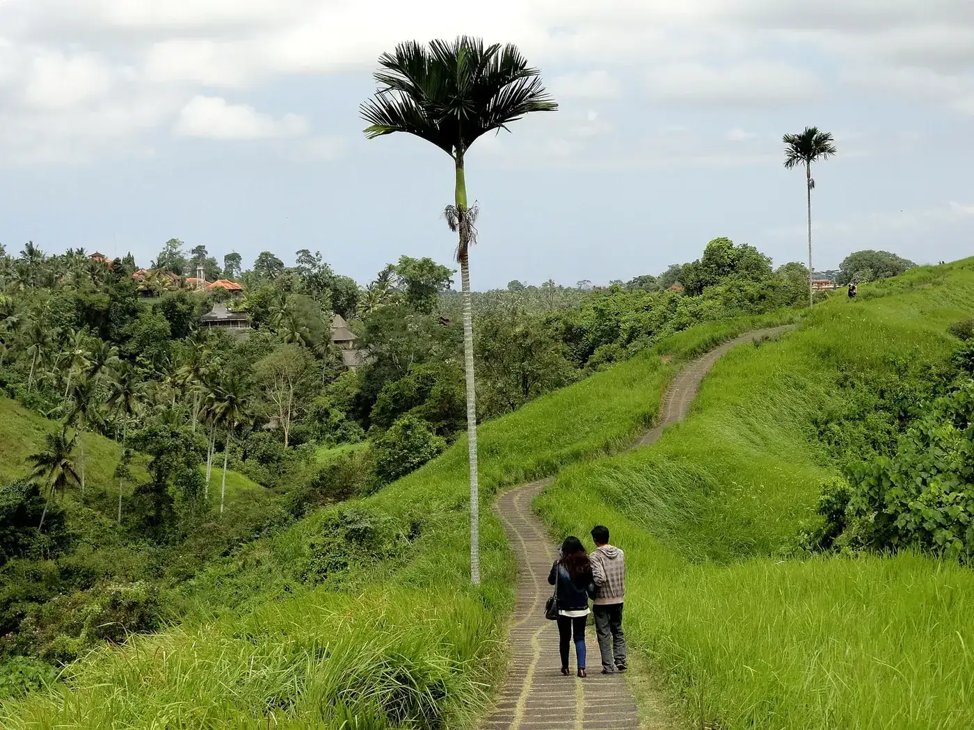
Photo Fabio Achilli, CC BY 2.0
What makes it feel hard is heat and exposure rather than gradient. A gentle uphill on an open ridge at thirty degrees with the sun overhead is a different exercise from the same slope at six in the morning, and the difference is not marginal. This is the whole reason the next section exists.
Practically: fine for children who can walk four kilometres, fine in trainers or sandals, not realistic in a wheelchair or with a pushchair because of the steps and the uneven paving in places. Runners use it early and it is a good surface for that.
The hour you set off decides the whole thing
The ridge does not change through the day. The sun does, and there is nothing on this path to stand under.
There is no shade on this ridge worth the name. Everything below follows from that one fact, including how the walk back feels.
| Slot | Sun on the ridge | How busy | The walk back |
|---|---|---|---|
| Before first light (05:15 to 06:00) | None yet, cool and often under mist | Almost nobody, a few runners | Back down before the sun has any strength |
| Sunrise (06:00 to 07:30) | Low and soft, warmth arriving by the end of it | Thin, mostly people who came for this | Warm on the climb back but nothing worse |
| Mid morning (08:00 to 10:00) | Climbing fast, and there is nothing to stand under | Building, and the first tour groups appear | This is where people start regretting the second kilometre |
| Middle of the day (10:00 to 15:00) | Full sun on an exposed ridge, no shade anywhere | Thinning out, because the heat has done the filtering | Genuinely unpleasant, and the reason for the bad reviews |
| Late afternoon (16:00 to 18:30) | Dropping, and the last hour is soft again | Second busiest window after mid morning | Comfortable, as long as you do not lose the light |
Before first light
Leave by: Leave central Ubud around 05:00, allow fifteen minutes on foot to the temple.
The best version of this walk and the one almost nobody does. The valleys on either side hold mist, the grass is wet, and the light comes up while you are already on the crest. You need a torch for the first ten minutes because the lane down to the temple is unlit, and that is the whole price.
Sunrise
Leave by: Leave central Ubud by 05:45 if you want to be on the ridge for the light.
The default right answer. Bali sits close to the equator, so sunrise lands between about six and half past six all year and does not swing with the seasons the way it does at home. Walk out for an hour, take a coffee at the far end, and be back in town before the heat means anything.
Mid morning
Leave by: Any time, which is why this is the busiest window.
Still perfectly doable, and the window most visitors actually use. The walk out is fine. The walk back is the problem: it climbs gently the whole way and the sun is now directly on you with no cover at all. Carry more water than a two kilometre path suggests you need.
Middle of the day
Leave by: Not recommended without a hat and a litre of water each.
The hours that generate the disappointed reviews. Nothing about the ridge is dangerous, but a flat exposed path at thirty degrees with a gentle climb on the way back is hard work, and people who expected a gentle stroll through greenery end up walking it in silence. If this is your only window, turn round at the first cafe rather than pushing to the village.
Late afternoon
Leave by: Be at the temple by 16:30 if you intend to walk the full length.
The credible alternative to sunrise, and the one to pick if a morning alarm is not happening. The catch is the dark: sunset falls between roughly six and half past, tropical dusk is short, and the ridge has no lighting whatsoever. Set a turnaround time and stick to it.
What no shade actually means here
Along the entire crest there is one much photographed palm, a few low bushes and nothing else above head height. The grass on the verges is tall enough to hide the valley but far too low to shade a path. Between the temple and the village you will pass through perhaps thirty seconds of shadow in total, and that is generous.
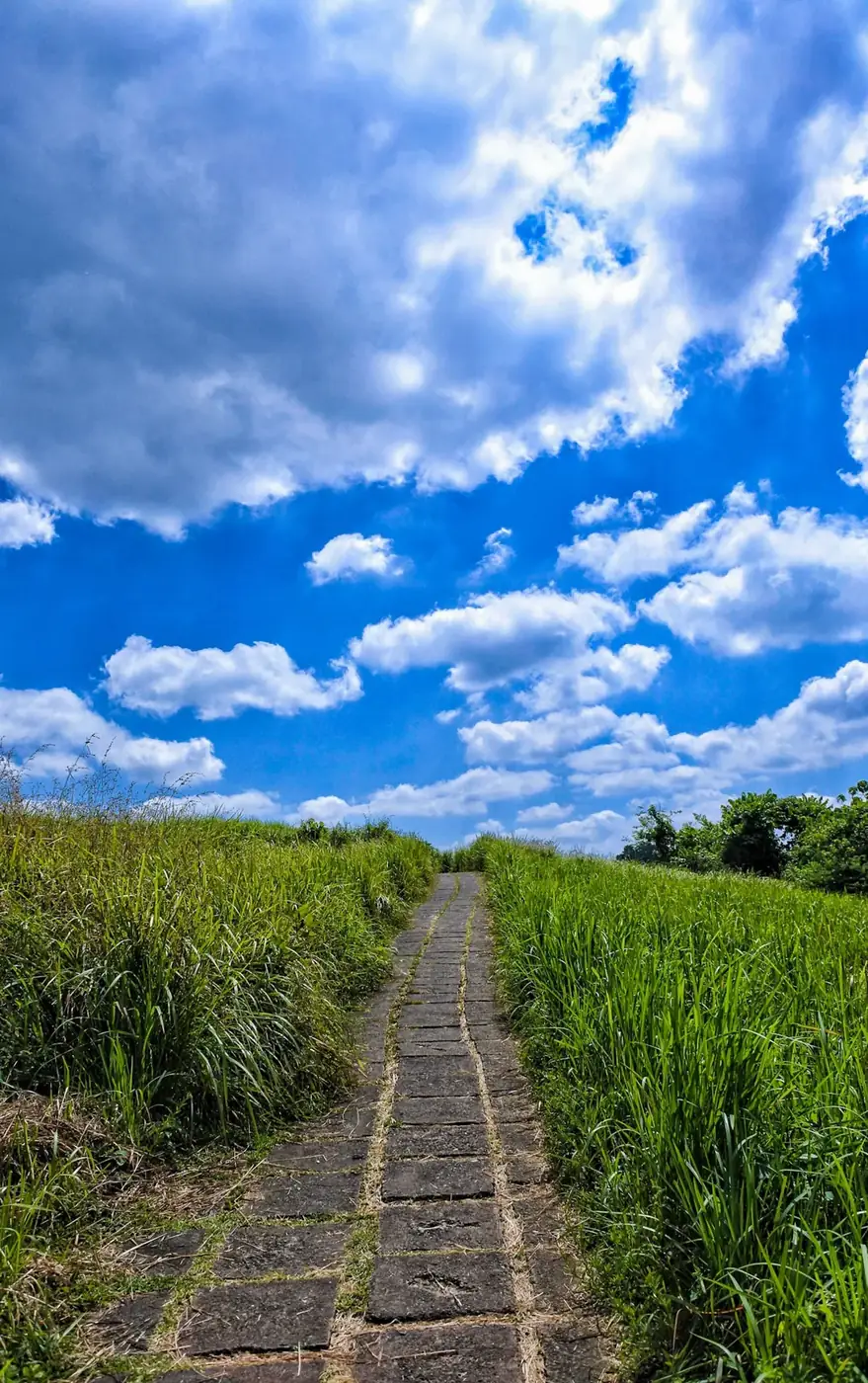
Photo Desianto, CC BY-SA 4.0
Bali sits eight degrees south of the equator, which means the sun comes up fast and gets high quickly. By nine in the morning it is already steep in the sky, and the paving reflects heat back up at you. The people who describe this walk as gruelling are not unfit. They simply did it at the wrong time.
The corollary is the good news. Walked at first light this is a cool, quiet, genuinely lovely hour, and it is free, which makes it the single best value morning in Ubud. Bring water anyway, because the warungs on the crest often do not open until the first proper wave of walkers arrives.
The temple and the confluence at the bottom
Most people walk straight past the oldest thing on this route without registering what it is.
Campuhan is a Balinese word for the place where two rivers merge, and that is what lies in the gorge under the bridge: the Wos Barat and the Wos Timur, the west and east branches, joining on a tongue of land. In Balinese Hinduism a confluence is a charged place rather than a piece of hydrology, which is why there is a sanctuary on exactly that spot.
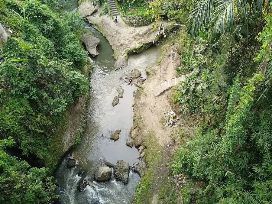
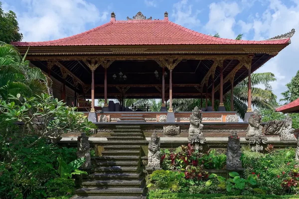
Pura Gunung Lebah sits down there, walled, shaded and cool, and tradition attributes its founding to the sage Rsi Markandeya, who is credited with bringing Hinduism into this part of the island. That places it among the older sanctuaries of the Ubud valley, considerably older than the town that grew up above it.
You walk past it rather than through it, and there is no fee for either. If you do go inside, the standard rules apply: a sarong, a sash, shoulders covered, and stay out of any area where a ceremony is under way. During a temple anniversary the whole gorge fills with people in white and the ridge above is deserted, which is an unusually good time to be up there.
The bridge above is worth two minutes of its own. The old arched span next to the modern road bridge dates from the colonial period and is closed to traffic, which makes it the one place you can stand still and look down into the confluence without a scooter passing your elbow.
The far end, and how far to push
The ridge does not end at a viewpoint or a sign. It simply stops being a ridge, and you find yourself on a village road.
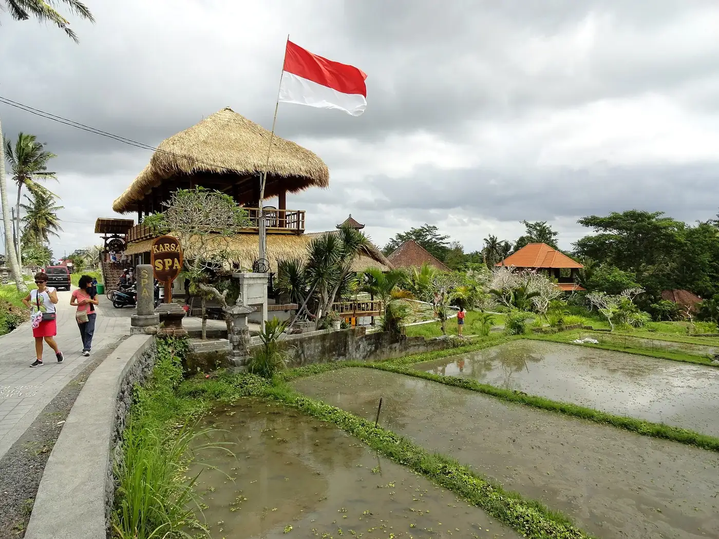
Photo Fabio Achilli, CC BY 2.0
After about two kilometres the crest broadens, houses appear on both sides, and you are in Bangkiang Sidem. There are cafes and warungs with terraces facing back down the valley, and one long established spa and cafe complex that most guides treat as the official finish line.
This is also, finally, where the rice appears. The flat ground behind the village is worked paddy, and if you came for that image it is here rather than on the ridge. Ten minutes of walking past the first cafe puts you between fields with the ridge behind you and almost nobody around.
How far to push depends entirely on the hour. At sunrise, keep going: another kilometre up the road reaches quieter warungs with better views and empty terraces. At ten in the morning, stop at the first place with a roof, drink something cold, and think seriously about not walking back.
Beyond the village the lanes continue north towards Keliki and Payogan through country that sees very few visitors. That is proper walking rather than a stroll, and it is the part a local guide is genuinely useful for, since none of it is waymarked.
Photo Fabio Achilli, CC BY 2.0
What it costs, which is nothing
Worth stating plainly, because several sites sell tickets and tours for a path that has no ticket.
| What you might pay for | Detail | Order of magnitude |
|---|---|---|
| Access to the ridge | No gate, no ticket booth, no donation post at either end. This is genuinely unusual around Ubud. | Free |
| Water and a coconut | Two small warungs on the crest and several cafes in the village at the far end. | ≈ $1 to $2 |
| Coffee with the valley view | The terraces at Bangkiang Sidem charge Ubud cafe prices rather than warung prices. | ≈ $3 to $6 |
| Ride back into town | Ordered from the village on a ride hailing app. Scooter is cheaper than a car. | ≈ $1 to $3 |
| Scooter parking near the trailhead | Informal, collected by whoever is watching the bikes. Cars have no equivalent option. | ≈ $0.60 |
Everything in that table except the first line is optional, and every figure moves. Treat them as orders of magnitude rather than prices. The important row is the top one: the ridge is a free public footpath, open at every hour, with nobody collecting anything at either end.
If a site is selling you a ticket for the Campuhan Ridge Walk, what you are buying is transport, a guide, or a package that happens to include it. That can be perfectly good value, particularly if it takes you into the villages beyond the ridge. It is not access, because access was never restricted.
What to bring, and what is up there
Water
More than four kilometres suggests. A litre between two people is a sensible floor in the morning and not enough at midday. The warungs on the crest keep unpredictable hours.
Sun
Hat and sunscreen, both, and reapplied if you are out after nine. There is no cover on the ridge and the paving reflects heat back up at you.
Cash
Small notes for warungs and for whoever is watching the scooters. The cafes at the far end usually take cards, the stalls on the ridge do not.
Feet
Trainers or walking sandals. No hiking boots required, and flip flops are survivable but unpleasant on the uneven sections of paving.
Facilities, honestly
There are no toilets on the ridge. The temple at the start has them, the cafes at the far end have them, and between those two points there is nothing for two kilometres, with no cover either side of the path. At sunrise, when the warungs are shut, plan for that before you leave.
Bins are scarce, so carry your rubbish to the village. There are no lights, no benches worth the name, and no shelter from rain. What there is, in return, is a maintained paved path through genuinely open country ten minutes from a main street.
Dogs, monkeys and other worries
Village dogs live along the ridge and around the far end. They are territorial about their own gate and indifferent about everything else. Walk past at a steady pace, do not offer food, and nothing happens. This is a normal feature of walking anywhere rural in Bali rather than a Campuhan problem.
There are no monkeys on the ridge. The macaques people worry about are two kilometres away in the forest sanctuary on the other side of town, and they do not commute.
Photographing a ridge that everyone has already photographed
The frames that work here are the ones that show the shape of the land. The frames that do not are the ones taken at eye level in flat midday light, which is most of them.
What actually works
- Shoot along the path rather than across it. The curve of the paving disappearing over the next rise is the picture. The grass either side is not.
- Get low. Crouching drops the horizon and turns a footpath into a ridge, which is the thing you actually came to look at.
- Use the lone palm on the crest as your anchor. It is the one vertical on an otherwise horizontal landscape and it gives the frame a scale.
- Come back with mist. In the wet season the two gorges fill and the ridge appears to float, which is the version of this place almost nobody sees.
Drones, and the rules that apply
Most of the famous aerial shots of this ridge are drone frames, and the reason is obvious: from above, the paving reads as a ribbon along a green spine and the whole geography becomes legible in one image. From the ground you can never quite show it.
Flying here is common but not consent free. Keep well away from the temple at the confluence, and do not fly at all over a ceremony, which is both a courtesy and increasingly a matter of local enforcement. Early is better for that too, since a drone at seven in the morning bothers nobody and the same drone at nine is buzzing fifty walkers.
If you do not have one, do not stress about it. The ground level photograph that works is the one taken in the first hour of light with the path curving away, and it beats a midday aerial every time.
Which months, and what the rain does
April to October: dry season
Reliable mornings, low chance of being rained on, and the busiest months on the crest. The grass is drier and more straw coloured by the end of it, and the heat once the sun is up is at its most serious. Sunrise matters most in these months.
November to March: wet season
The ridge is at its greenest, the mornings are often clear, and the rain tends to arrive in the afternoon in short heavy bursts. Far fewer people. The path is paved so it does not turn to mud, but it does get slick in places.
The seasonal difference on this particular walk is smaller than the difference between six in the morning and ten in the morning. That is unusual, and it is worth internalising: the hour matters more than the month. A wet season sunrise on a green ridge with mist in the gorges beats a dry season midday every time.
One genuine wet season risk is being caught out. There is no shelter anywhere on the crest, and a Balinese downpour is not a drizzle. If the sky is building while you are at the far end, that is the moment to order a ride from the village rather than to start walking back.
Where it fits in an Ubud morning
This is a ninety minute activity, not a day, and it slots naturally into the front of one.
06:00 to 07:30: the ridge
Out along the crest in the cool, coffee at the far end, and a ride or a walk back down. You are finished before most visitors have had breakfast.
08:00 to 10:00: breakfast and the town
Back into central Ubud for food, then the market and the palace, both of which are five minutes apart and still quiet at that hour.
From 10:00: something with shade
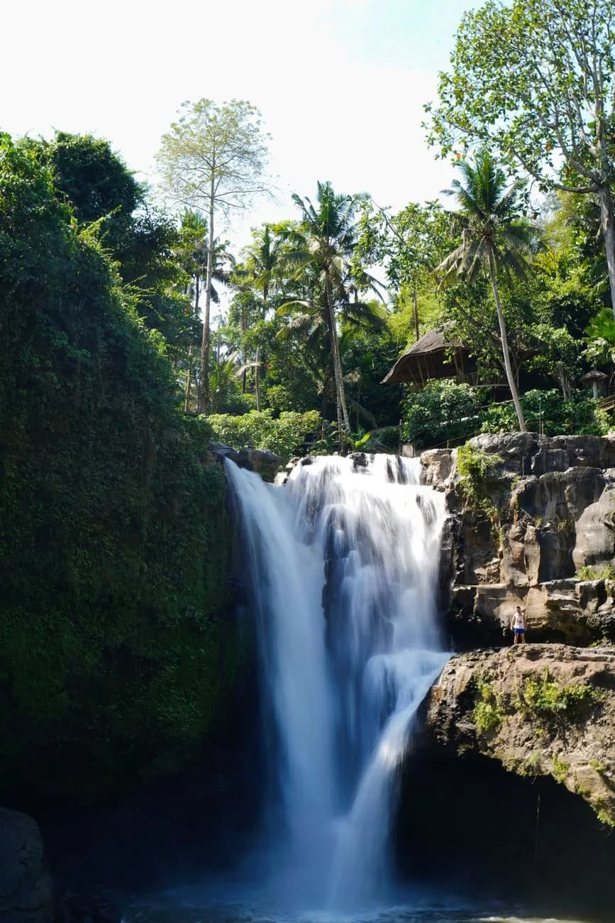
The heat of the day is for terraces, temples or water. The waterfall at Tegenungan is half an hour away and works precisely when the ridge does not.
The pairing that does not work is Campuhan and Tegallalang on the same morning. Both are best at first light, they are twenty minutes apart by road, and doing them back to back means one of them gets the heat and the crowds. Give them separate mornings, or accept that the second one will be the lesser experience.
Staying close helps more than anything else on this page. Anywhere in central Ubud, Penestanan or along Sanggingan puts you within a twenty minute walk of the trailhead, which is what makes a six in the morning start realistic rather than theoretical. The guide to Ubud goes through which of those areas suits which kind of stay.