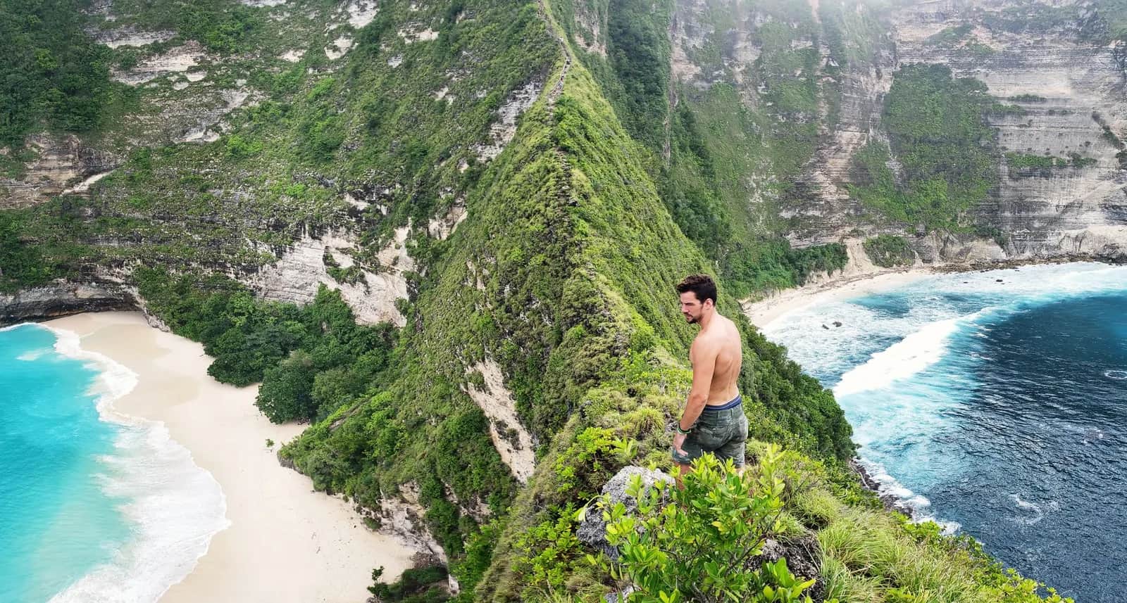
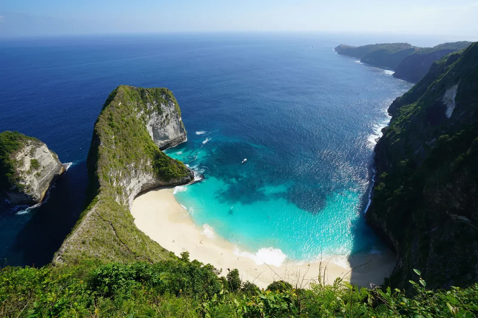
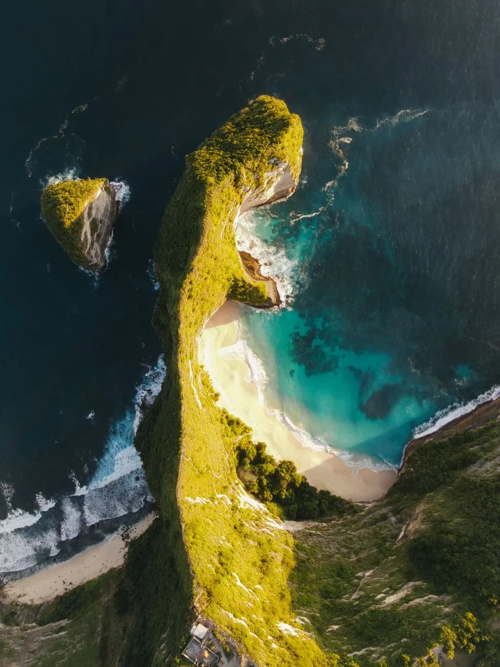
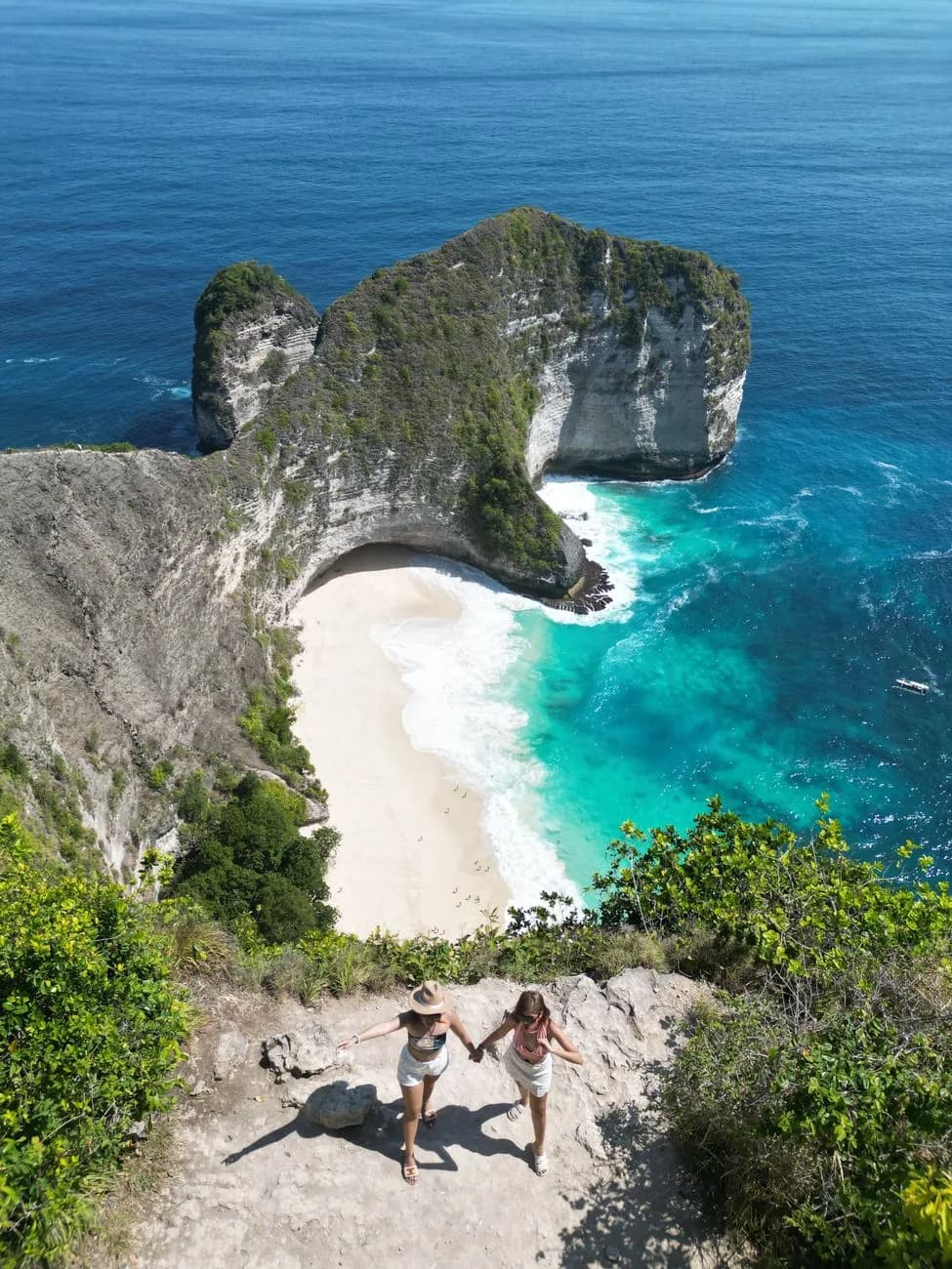
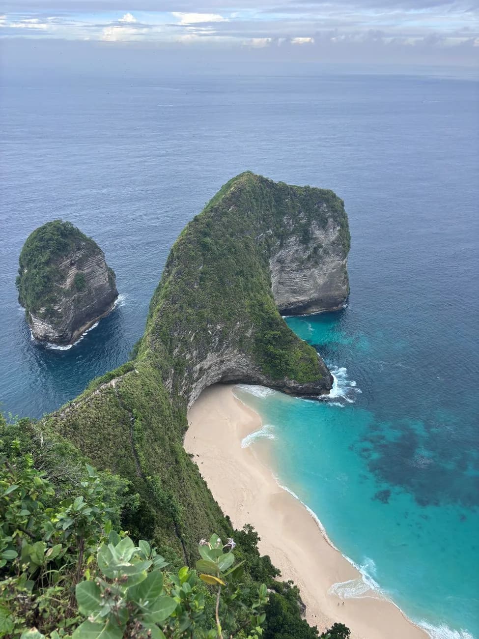
Kelingking Beach is the headland on the south-west coast of Nusa Penida that looks like a dinosaur lying in the sea, with a white beach curved into the bay two hundred metres below it. Getting to the viewpoint is trivial: it is a few steps from a car park, and the whole thing is free.
Getting to the sand is not. There is no staircase in the sense the word usually carries, there is no lift in service, and the trail down is steep enough and exposed enough that a real proportion of the people who start it turn round partway. That decision is the only genuinely difficult thing about this place, and it is the thing most guides skip past on their way back to the photograph.
So this page is built around it. What the descent is made of, section by section. Who should attempt it and who should stay at the top. And why the climb back, not the way down, is the part that ends people.
Fast boat, driver and the three headline stops
Kelingking and the Nusa Penida west coast, from Bali
- ✓Fast boat from Sanur and hotel pickup on the Bali side, which is the half people forget to plan
- ✓Kelingking, Broken Beach with Angel's Billabong and Crystal Bay in one loop
- ✓A driver who knows the west coast roads, rather than a scooter you rented forty minutes earlier
- ✓Free cancellation on most listings, which matters when the crossing looks rough
Affiliate link. Booking through GetYourGuide costs you nothing extra and supports the guide. Price and rating checked September 2026. Both move with season and demand.
On this page
Should you go down?
The one question this page exists to answer, and the one nobody wants to answer with a no.
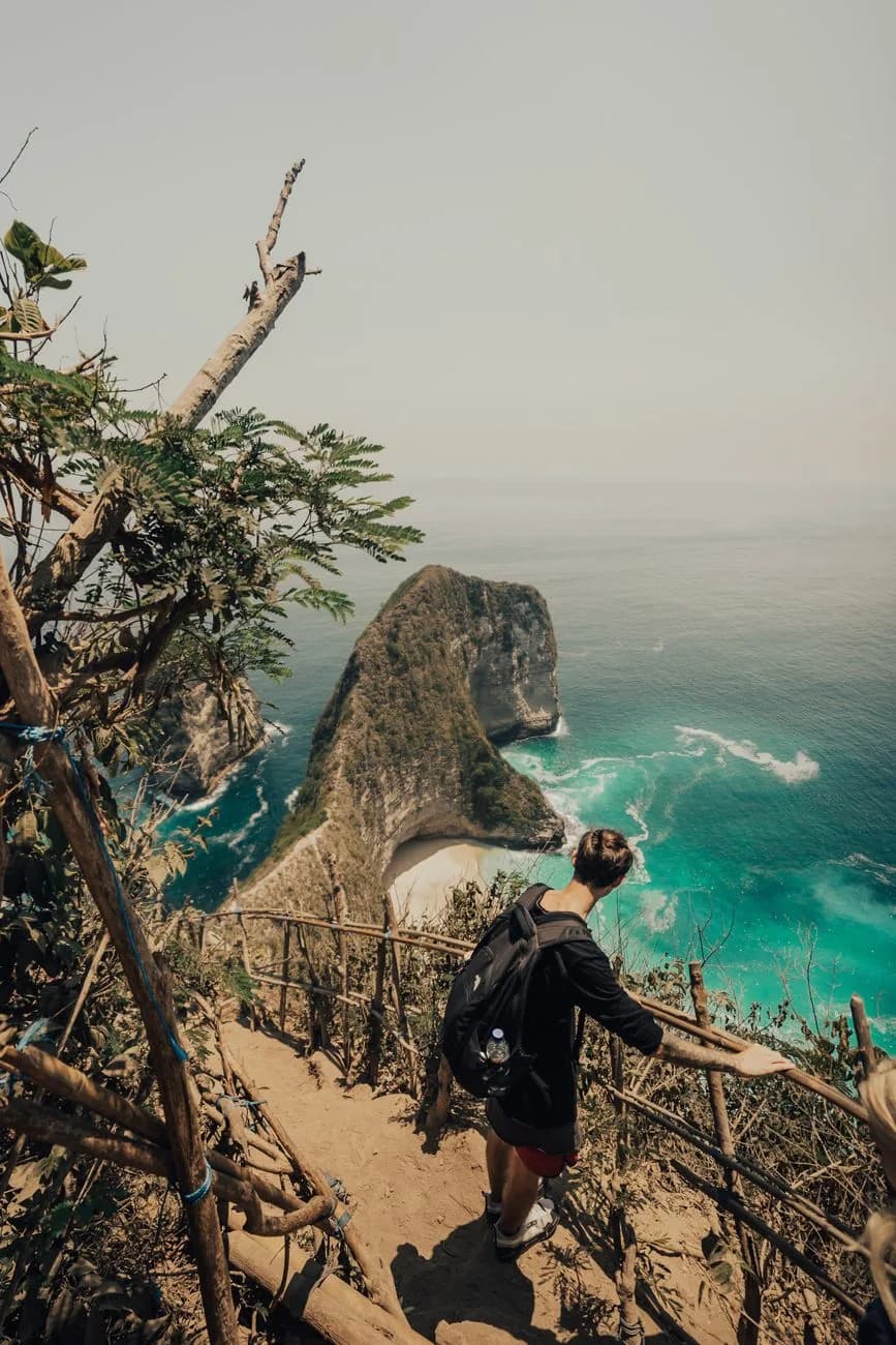
Kelingking gets described as a hike, which sets the wrong expectation in both directions. It is far shorter than a hike, about twenty minutes of downward movement, and considerably steeper than anything the word suggests. The nearest honest comparison is descending forty flights of stairs where a third of the flights have no stairs, the handrail is made of lashed bamboo, and the temperature is somewhere north of thirty degrees with the humidity to match.
People handle that fine every day, in trainers, at eight in the morning, with water. People also come unstuck on it every day, and the pattern is consistent: they arrive at midday off a tour van, they are in flip-flops, they have half a bottle of water between two, and they commit to the descent because the beach looks close. It is not close. It is two hundred vertical metres, and the whole bill for the descent comes due on the way back.
The self-check below asks about the five things that actually predict how this goes, none of which is your VO2 max, and it will happily tell you to stay at the top. Staying at the top is a completely reasonable visit to Kelingking, and it is what the large majority of people do.
Five things decide whether the descent goes well for you, and fitness in the abstract is not one of them.
| Factor | Fine | Worth watching | Turn back signal |
|---|---|---|---|
| Knees and ankles | No history of trouble | Downhill hurts more than uphill | A knee, ankle or back problem you already plan around |
| Heat and humidity | Done tropical hikes in 32°C with no breeze | Manage, but wilt by midday | Heat has made you faint or nauseous before |
| Footwear today | Trainers or trail shoes with grip | Flat sandals with a heel strap, workable in the dry | Flip-flops, which is how people reach the sand bleeding |
| Head for heights | Exposure does not register | Would rather not look down | Heights make you freeze, and the middle third has long drops with only a timber rail |
| Company | Just you, or another adult who sets their own pace | A child over roughly ten, with constant supervision on the lower sections | A young child or someone unsteady: no slip here is minor |
Mostly in the first column: go down
Start before nine, carry at least a litre and a half of water per person, and budget two hours door to door rather than the forty minutes the walking time suggests. The climb back is the hard half, so keep something in reserve and do not spend two hours on the sand in full sun before starting up.
A mix, or unsure: judge it at the landing
Take the 156 concrete steps to the landing about a third of the way down. That part is the easy part, so it tells you little on its own. Stand there and look at what comes next, worn rock, dirt and a bamboo handrail. If that reads as fine, carry on. If it reads as a lot, turn round there. You will have lost twenty minutes and had a far better view than the car park gives you.
Several turn back signals: stay at the top
The photograph everyone comes for is taken from the clifftop, not from the sand, and you cannot swim at the bottom either way. What you would risk going down is a two hundred metre climb back in the heat with something already working against you. Walk the viewpoints along the rim instead, and spend the time saved somewhere the payoff is at the top. Whatever this points to, the decision that matters is the one you make on the landing with the trail in front of you: turning round is normal here and nobody at the top will notice.
What the descent actually is
It is not one thing. It changes character three times, and people turn back at the changes rather than at the steep bits.
The concrete steps
156 poured concrete steps with uneven risers, a metal and timber rail most of the way, dropping in tight switchbacks under whatever shade the scrub gives you, from the car park to a landing about a third of the way down. It looks like infrastructure, which is why people set off confident and almost nobody stops here. It feels like the whole descent is going to be this.
The bamboo and timber section
Past the landing the concrete stops and the character of the track changes completely. What you are on now is worn rock and packed dirt, with cut steps in places, edged by a structure of bamboo poles and tree branches lashed together and anchored into the ground rather than bolted. It holds and it is maintained, but it is not a handrail in the sense a first-time visitor pictures. The gradient steepens, the shade thins out, and the drop on the seaward side becomes something you notice.
This is where the majority of turning back happens, usually within two minutes of leaving the landing.
The final scramble
The last stretch is closer to downclimbing than walking: loose dirt, rock steps, roots and one ladder-like pitch where hands go on the rock and you sit down on a couple of the drops. By now the sand is in sight, which carries most people through it, and the climb back up this section in the middle of the day is the hardest twenty minutes of a Nusa Penida day trip. A few visitors stop at the top of it and photograph the beach from thirty metres above rather than finish the descent, which is a perfectly good outcome.
The climb back is the real event
Everything written about Kelingking frames the descent as the challenge. It is the wrong way round. Going down is awkward and slightly frightening. Coming up is two hundred metres of vertical gain with no shade, usually at the hottest hour, on legs that have just spent forty minutes doing nothing on a beach. Twenty minutes becomes thirty, thirty becomes forty with stops, and the stops are where people sit down on a rock and go quiet.
Nobody is coming to carry you out. There is no stretcher team, no road access to the bay, and the phone signal on the sand ranges from poor to nothing. The evacuation from that beach is you, walking. It is worth holding that thought for a second before you start down, because it is the fact that turns a hard walk into a decision.
None of this is dramatic if you plan for it. Go early, take more water than feels necessary, keep the time on the sand short, and start back before you feel like starting back. Most people who struggle did every one of those four things backwards.
The descent in numbers
| Section | Underfoot | Down | Back up | Turn back here? |
|---|---|---|---|---|
| 156 concrete steps | Poured steps, uneven risers, rail nearly throughout | 5 to 7 min | 8 to 12 min | Almost nobody. It feels like the rest will be the same. |
| Bamboo and timber section | Worn rock and dirt, lashed bamboo railing, exposed | 6 to 9 min | 10 to 15 min | Most turnarounds happen in the first two minutes of it. |
| Final scramble | Loose dirt, roots, hands needed on two or three drops | 5 to 8 min | 8 to 12 min | A few stop above it and photograph the beach from there. |
| Whole descent | Roughly 200 vertical metres, no shade below the first bend | ≈ 20 min | 25 to 40 min | Budget 3 h for the round trip including time on the sand. |
Times are for an unhurried adult in trainers, in the morning. Add meaningfully to the uphill column for midday, for anyone carrying an injury, and for the stretch after a long stop on the beach.
The view from the top, and the bit past the crowd
Where the photograph is actually taken, and why walking five more minutes changes it.
From the car park you walk a couple of minutes and the whole thing opens at once, which is genuinely startling the first time. The headland runs out into the sea below and to your left, green on top, white limestone where the cliff has broken away, and the shape reads as a head and a neck without any effort at all. The beach sits in the curve of the neck, and the water over the reef shelf in front of it turns the improbable turquoise that everyone assumes is a filter.
Nearly everyone stops at the first platform, which is where the queue for photographs forms and where the crowd is thickest between eleven and three. The rim path continues past it in both directions and thins out within about a hundred metres. Five minutes along it you get the same headland from a slightly higher angle, a better line on the beach, and a fraction of the people.
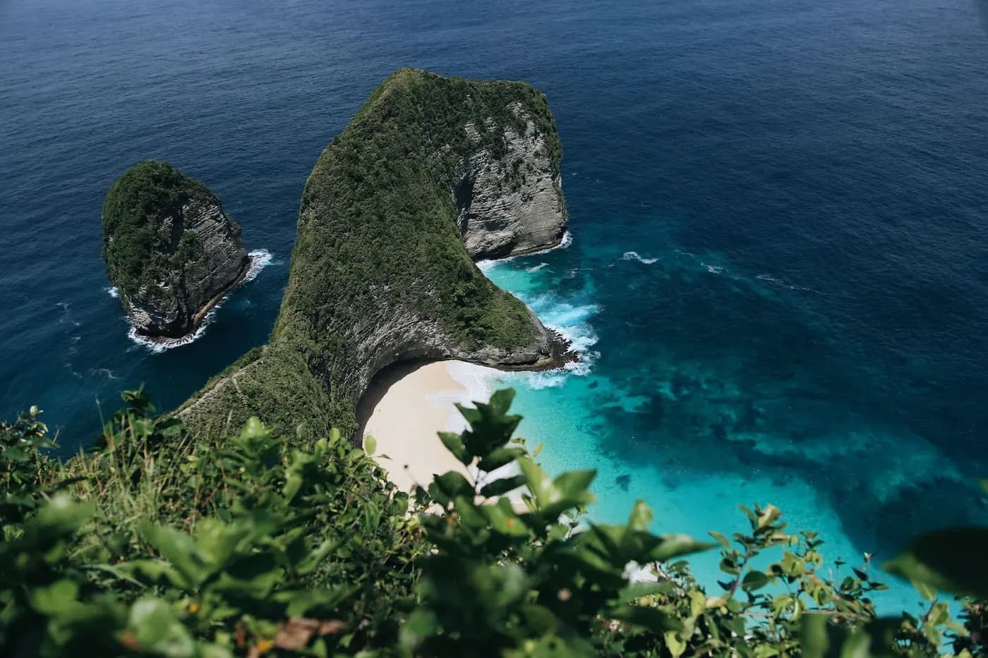
Two warnings for the clifftop, both boring and both real. The edges are unfenced, the ground near them is loose, and people have died falling from Nusa Penida clifftops while setting up a photograph. And there is no shade up here to speak of, so a long wait for the light in the middle of the day is more punishing than it sounds.
The main platform
Concrete, railed, two minutes from the car park, and the source of roughly every Kelingking photograph in existence. Busy from mid morning, empty at eight.
The rim path
Dirt, unfenced, running along the clifftop either side. Better angles, fewer people, and worth the five minutes. Stay well back from the edge on the loose ground.
The top of the steps
Fifty metres down the trail there is a viewpoint most people never see because they either commit to the descent or never start it. It is the best free upgrade on the site.
Down at the beach, and why you cannot swim
What you get for the hour of effort, and the one thing you do not get.
The beach is genuinely beautiful and genuinely uncomfortable. Deep soft sand, a wall of cliff behind you, a cave cut into the rock at the northern end that you can walk into, and water that is exactly the colour it looks from above. There is also no shade after about ten in the morning, nothing sold, no toilet, no drinking water and no lifeguard. Whatever you did not carry down, you do not have.
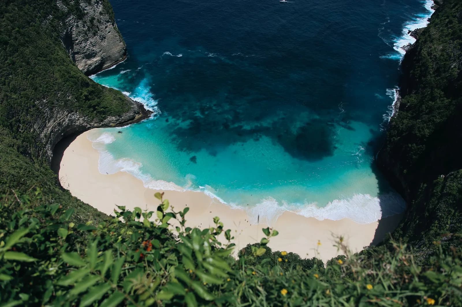
Swimming has been prohibited since early 2023, following fatal incidents. The prohibition is not bureaucratic caution about a slightly rough sea. The beach shelves steeply, so the swell breaks directly onto the sand rather than rolling in over a shallow, and the water drains back off that slope hard enough to take your feet out from under you in knee-deep water. Add the complete absence of rescue and the answer becomes obvious.
People still go in, usually in the shallows, usually the ones who did not read anything before arriving. It is not a rule anyone enforces down there, which puts the decision entirely on you at the exact moment you are hot, tired and looking at turquoise water. If swimming was the point of the day, the answer on this island is Crystal Bay, or a boat, not this bay.
The glass lift and the bungee: what is actually there
There is a large unfinished structure on the cliff. It does not work, and it has never worked.
The glass lift
Not operating. A roughly 180 metre lift built into the Kelingking cliff face, meant to carry visitors between the clifftop and the beach. It has never carried a passenger. Construction was suspended at the end of October 2025 over permit and environmental violations, and in November 2025 the governor of Bali called for the structure to be dismantled and the cliff restored.
The developer took the demolition order to the administrative court, where the case remains. A demolition deadline in May 2026 came and went with nothing removed, and a burst of viral video in June 2026 that appeared to show work restarting turned out to be a site inspection. As of August 2026 the unfinished structure is still standing and nothing about the walk down has changed.
The bungee jump
Closed. For a while it was possible to bungee jump from the cliff at Kelingking, at around 2.7 million IDR, cash. It was shut down at the end of October 2025 in the same enforcement action that stopped the lift, for operating without the permits and safety certification the activity requires.
Listings and videos advertising it are still circulating and all of them predate the closure. Do not build a day around it, and be careful with any operator who sells it to you now.
The practical takeaway is short. Plan on your legs. Anything you read that treats the lift as a way of skipping the descent, or as something arriving shortly, is either out of date or guessing, and the difference matters: it is the difference between a viewpoint anyone can enjoy and a beach that asks two hundred metres of climbing from you. The wider picture of what the island is like to move around is on the Nusa Penida guide.
Getting there, and what it costs
Sanur to the pier, the pier to the west coast, and the three ways of covering the second half.
From Bali it is a fast boat out of Sanur, thirty to forty-five minutes depending on the sea, landing at Toya Pakeh or Banjar Nyuh on the north coast. From either pier, Kelingking is forty-five minutes to an hour by road across the middle of the island. The road is sealed for most of that, narrow throughout, and steep enough in two or three places that a first-time scooter rider will remember it.
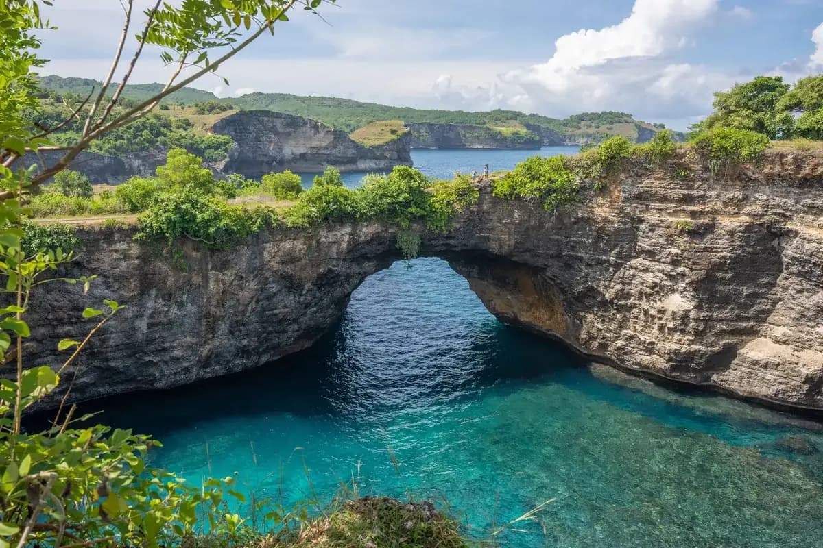
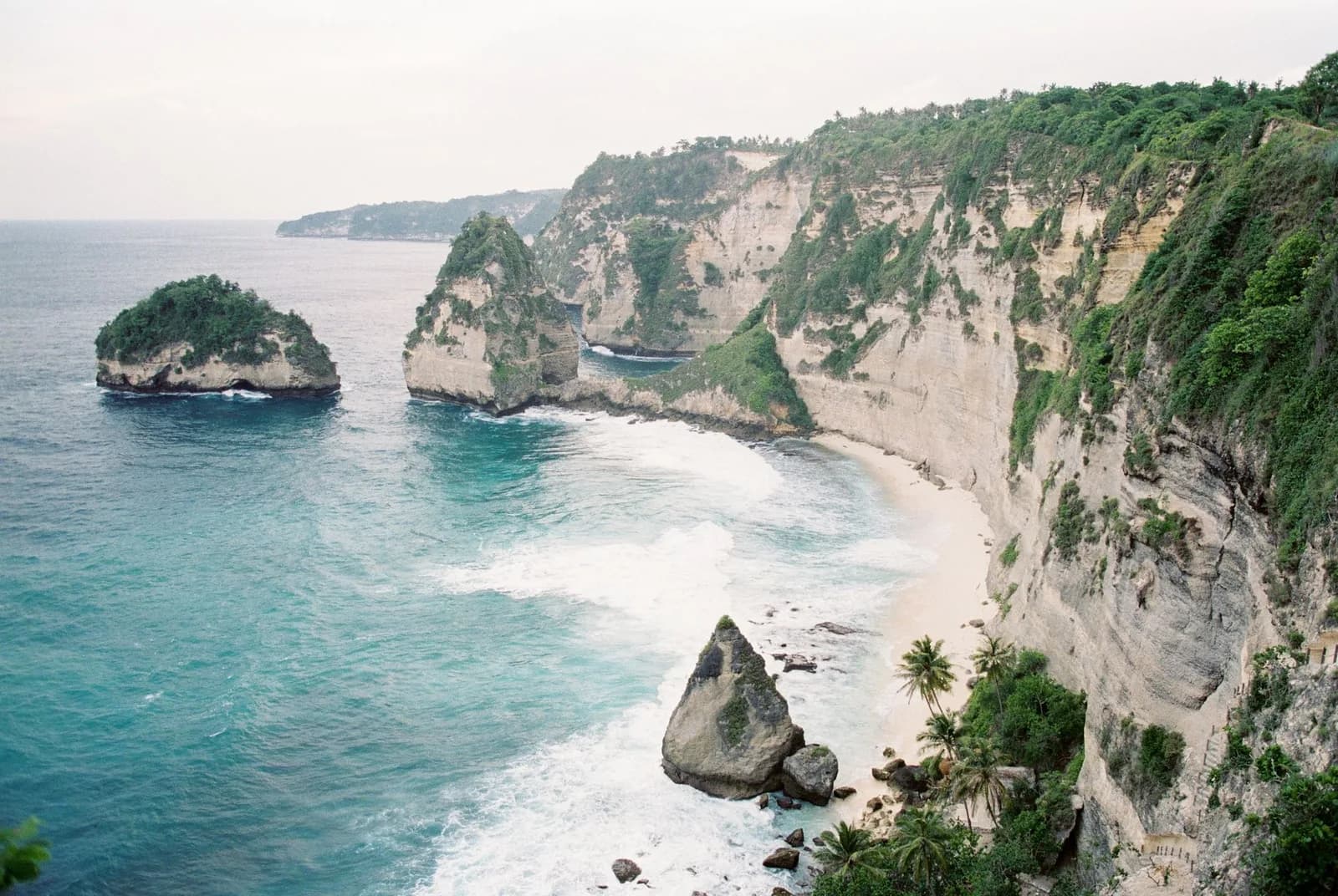
Everything else on the west coast is close once you are there. Broken Beach and Angel's Billabong sit twenty to thirty minutes further round, and Crystal Bay is thirty to forty minutes away, usually driven at the end of the day. What does not work is the east coast: Diamond Beach is an hour and a half to two hours across the full width of the island on slow, broken road, and putting it in the same day as Kelingking means doing neither properly.
Worth knowing before you plan the morning: those times assume nothing goes wrong. The queue to get off the fast boat is longer than it looks, and the pier is chaos for the first twenty minutes after a crossing lands.
Scooter, driver or organised tour
A scooter is the cheapest option at under $12 a day, petrol on top, and it buys you the mornings, which on this island is worth a great deal. It also puts you on unfamiliar mountain roads with a licence situation most travel insurance treats unkindly, and Nusa Penida is where a meaningful share of Bali scooter accidents happen. If you have never ridden one, this is not the island to learn on.
A driver with a car for the day runs $35 to $55 and removes the entire problem. Split between four people it costs barely more than scooters, and the difference between arriving at Kelingking fresh and arriving at it rattled shows up immediately in whether you fancy the descent. This is what most people should do.
An organised day trip from Bali costs $50 to $100 and bundles the crossing both ways, the driver, a guide and the three west coast stops into one booking. It is the right call if this is a single day out of a Bali holiday rather than a stay on the island, and hotel pickup on the Bali side is the part people forget to price in. The tradeoff is the clock: group tours reach Kelingking mid-morning, which is exactly when the viewpoint fills and the trail turns unpleasant. Which formula to buy, and what the ticket leaves you to pay at the gate, is set out in the Nusa Penida day trip guide.
What you actually pay on site
Almost nothing, and this is the part that surprises people. There is no entrance fee at Kelingking. The clifftop, the trail and the beach are open land, there is no ticket booth and no barrier, and the site never closes. Nusa Penida charges nothing to see the thing it is famous for.
The one compulsory payment is parking, collected at the roadside as you pull in: 5,000 IDR for a scooter, 10,000 IDR for a car, which is small change either way. After that the only money you will spend is at the warungs by the car park, where nasi goreng, noodles, cold drinks or a coconut run a few dollars. Nothing at all is sold below the clifftop, so whatever you want on the beach you carry down yourself.
Everything here is cash. No card is accepted anywhere on the site, there is no ATM at the viewpoint, and the nearest reliable machines are back towards Toyapakeh. Treat every figure on this page as an order of magnitude rather than a quote: nothing is printed on a sign, and prices on this island move.
When to go
The hour matters more here than the month, and it matters twice: for the crowd and for the trail.
Before 09:00
Best. The viewpoint is close to empty, the trail is in partial shade, and the temperature is survivable. If you intend to go down, this is not a preference, it is the plan. Only realistic if you stayed on the island or took the first boat.
11:00 to 15:00
Avoid. Every day trip van from the morning boats converges here, the platform queues, and the trail bakes. The light is also at its flattest. This is when most people see Kelingking and it is the worst version of it.
After 16:00
Good. The crowd drains, the light warms and the cliff comes out of shadow. Excellent for the viewpoint, poor for the descent: you would be climbing back in the last of the daylight, and there is no lighting on that trail.
Season
The dry season, roughly April to October, gives the settled weather and the colour in the water that Kelingking is known for. It is also when the island is busiest and when the exposed trail is hottest, which are opposite pressures rather than a single answer.
In the wet season, November to March, the crossing is more often rough or cancelled, the water loses some of its clarity, and the trail turns slick. A wet descent at Kelingking is a materially different proposition from a dry one, and the honest advice on a rainy morning is to enjoy the viewpoint and skip the beach.
How long to allow
Viewpoint only: 45 minutes to an hour. Enough to walk the rim past the platform, find a better angle than everyone else, and eat something at a warung.
Down to the beach: three hours, honestly counted. Twenty minutes down, half an hour or so on the sand, up to forty back up with stops, and a genuine sit-down at the top before you go anywhere.
A day trip that includes Kelingking, Broken Beach and Angel's Billabong, and Crystal Bay does not contain three spare hours. If the descent matters to you, that is the day, and the other stops come off it.
Is it worth it?
Two separate verdicts, because the viewpoint and the beach are two different visits.
The viewpoint, for everyone
Yes, without hesitation. Free, two minutes from a car park, and the single most striking thing on the island. There is no version of a Nusa Penida day that should skip it, including a rushed one.
The descent, done early
Yes, if you plan it. Standing on that sand with the cliff above you is a completely different experience from looking down at it, and almost nobody up there does it. Worth the effort if you start before nine with water.
The descent off a midday tour
Probably not. You will have an hour, no water to speak of, and thirty degrees on an unshaded trail. This is the exact combination that produces the bad afternoons. Take the photograph and keep the day.
The descent for a swim
No. You cannot swim at the bottom. Descending two hundred metres for a beach you are only allowed to stand on is a poor trade if the water was the point.
The summary that most guides will not give you is that the best of Kelingking is free and takes ten minutes. The descent is a genuine experience and it is also optional, difficult and unrewarded by anything you can do at the bottom beyond standing there. Going down should be a decision you make deliberately, in the morning, with water in a bag. Plenty of people who have thought about it properly decide against it and drive on perfectly happy.
Kelingking in a west coast day
It is the first stop on a loop, and what you do here decides the rest of it.
The standard west coast circuit runs Kelingking first, then Broken Beach and Angel's Billabong twenty to thirty minutes up the road, then Crystal Bay in the afternoon. Kelingking goes first for a reason: it is the stop that punishes a late arrival hardest, both for the crowd and for the heat.
That loop works cleanly as long as you treat Kelingking as a viewpoint. Add the descent and the arithmetic collapses, because three hours here leaves you arriving at Broken Beach in the early afternoon with a tide you did not choose and a boat to catch. Pick one: the beach at Kelingking, or the full west coast. Both in one day is the plan that has people running for the last fast boat.
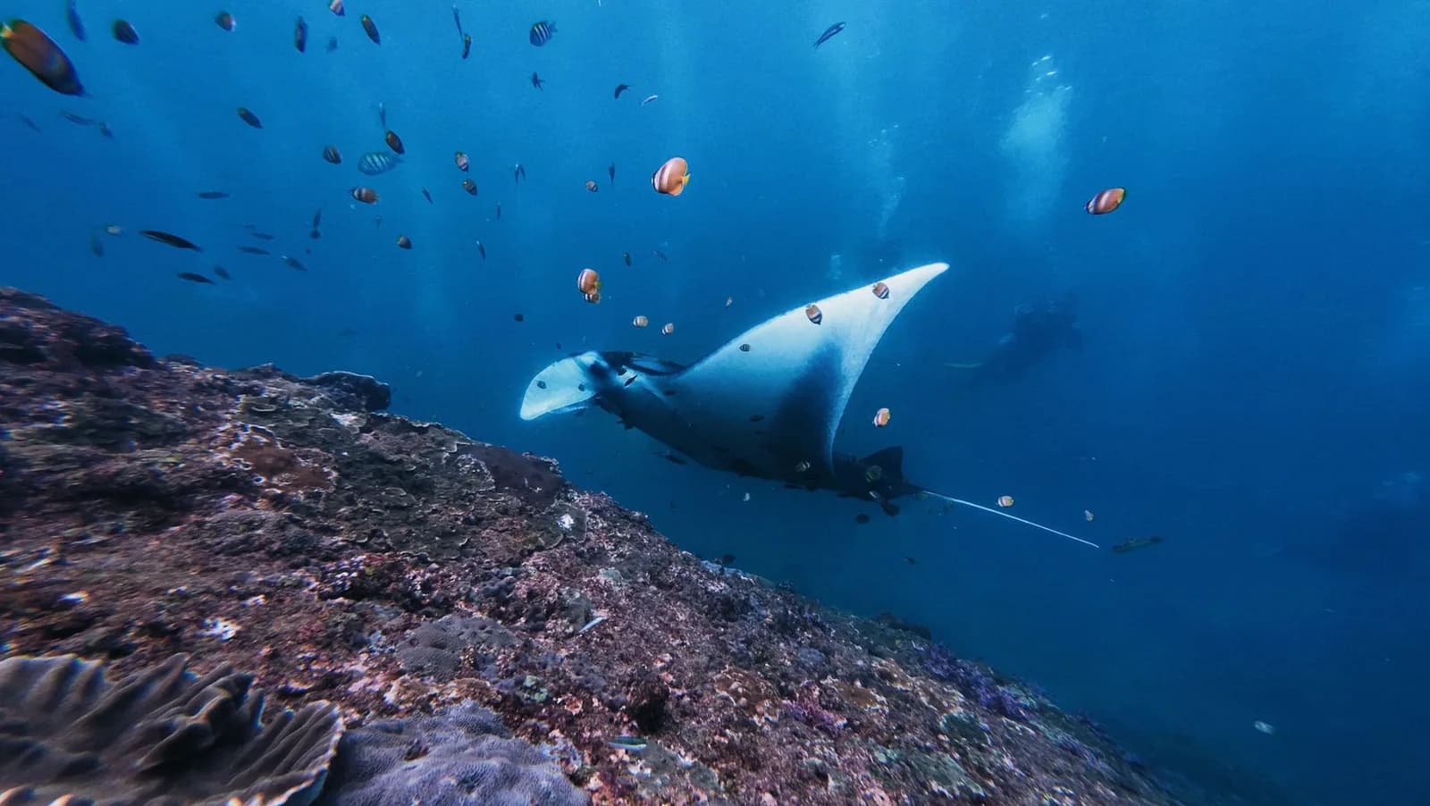
The other thing worth knowing is that the best hour on this island is not on land at all. The reef manta cleaning stations at Manta Point are a boat trip off the same coast, they run in the morning, and they compete for exactly the hours Kelingking wants. Deciding between them in advance is better than discovering the conflict at eight in the morning at the pier.